


Page 1 of 10
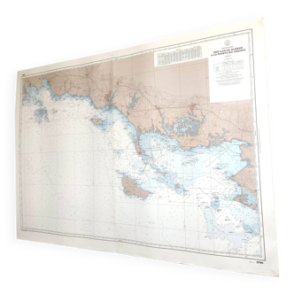
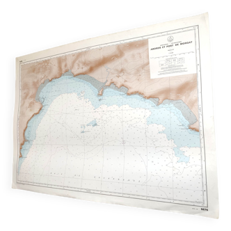
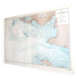
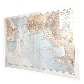
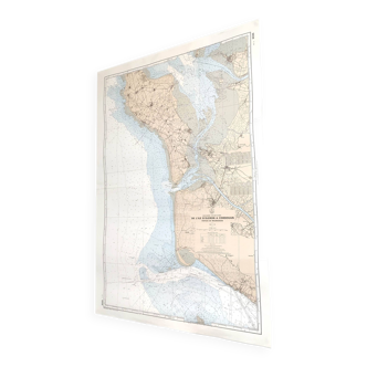
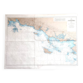
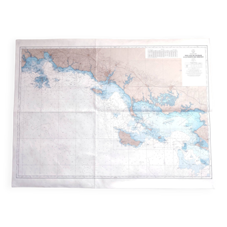
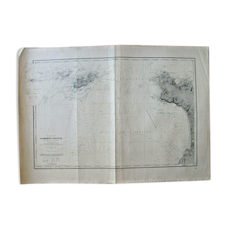
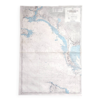
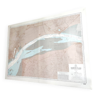
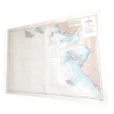
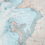
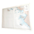
Map of the West Coast of France from Belle Ile to Noirmoutier Island 1981
€60
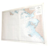
Map of the West Coast of France from Belle Ile to Noirmoutier Island 1981
€60
- Dimensions :
- H10 x W116 x D1
- Color :
- multicolour
- Material :
- paper
- Style :
- vintage
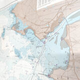
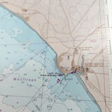
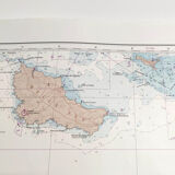
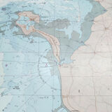
Large vintage map of the west coast of France (Atlantic coast) and the Loire estuary, from Belle Ile to Noirmoutier Island. Dated 1981. Dimensions: 116cm long and 82cm high. Paper map with a center crease.