


Page 1 of 12
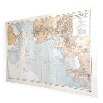
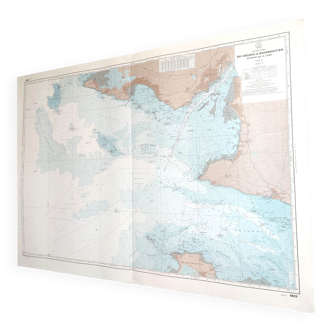
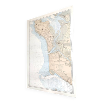
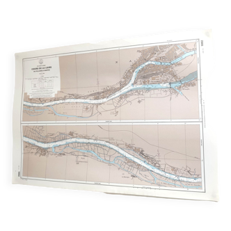
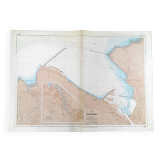
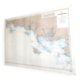
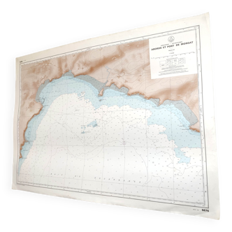
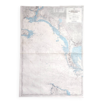
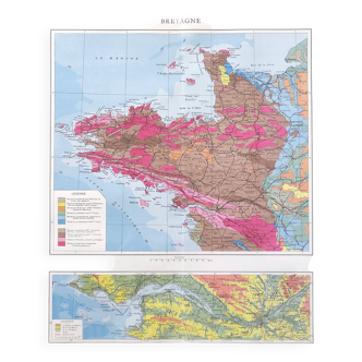
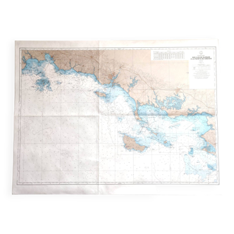
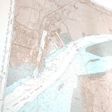
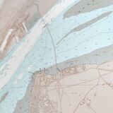
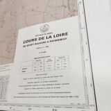
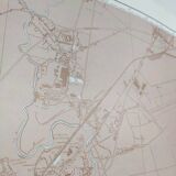
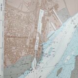
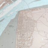
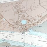
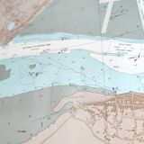
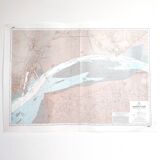
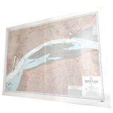
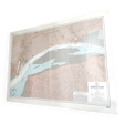
Map of the Loire estuary, west coast of France
€60
Map of the Loire estuary, west coast of France
€60
- Dimensions :
- H10 x W108 x D1
- Color :
- multicolour
- Material :
- paper
- Style :
- vintage
Beautiful large vintage map of the west coast of France, more precisely the Loire estuary from St Nazaire to Paimboeuf. Dated 1981. Dimensions: length 108cm and height 77cm. Good condition, cardstock map, one crease.