


Page 1 of 14
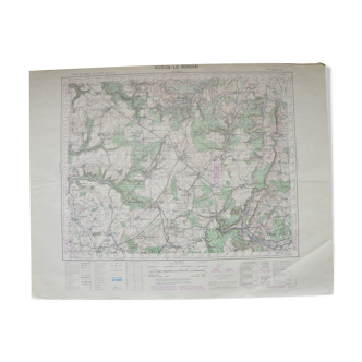
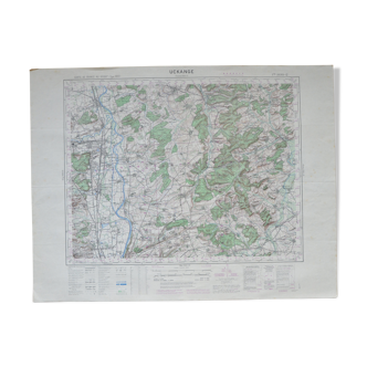
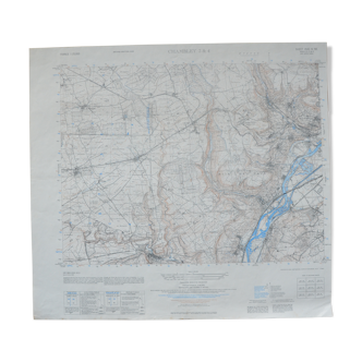
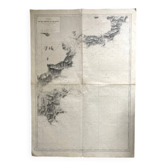
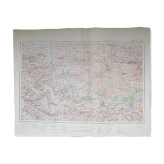
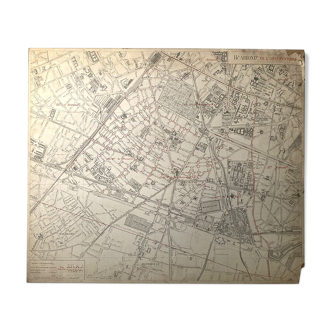
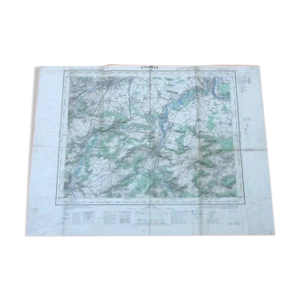
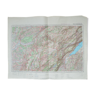
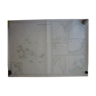
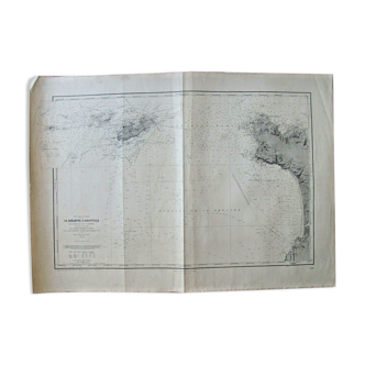
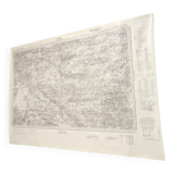
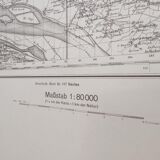
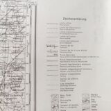
Old map of St Nazaire, Loire estuary, 1940
€70

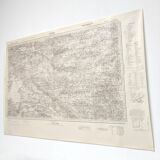
Old map of St Nazaire, Loire estuary, 1940
€70
- Dimensions :
- H10 x W95 x D1
- Color :
- beige
- Material :
- paper
- Style :
- vintage
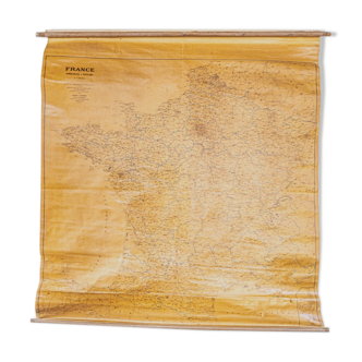
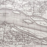
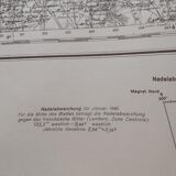
Large vintage map dated 1940, drawn just before the war and the reconstruction of St. Nazaire. From the Loire estuary and its islands to Nantes and the Erdre River. Length 95cm, height 67cm. Rolled paper map.