


Page 1 of 6
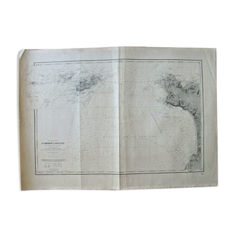
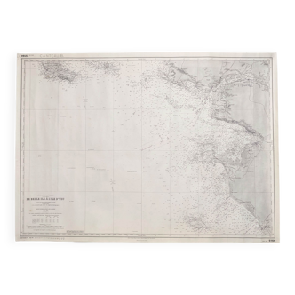
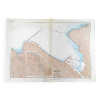
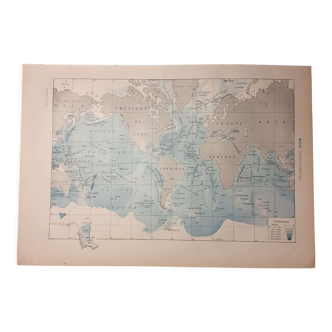
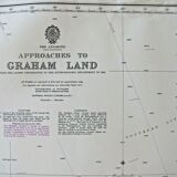
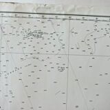
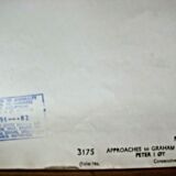
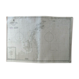
Graham Land - Peter I Oy - Antarctica Chart
€50 €80
Graham Land - Peter I Oy - Antarctica Chart
€50 €80
- Dimensions :
- H105 x W74 x D1
- Color :
- white
- Material :
- paper
- Style :
- vintage
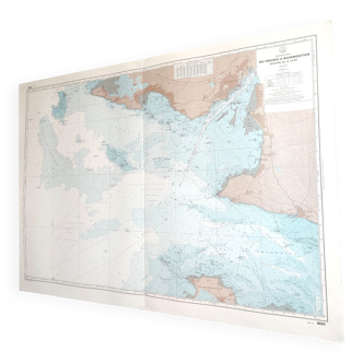
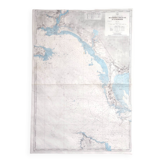
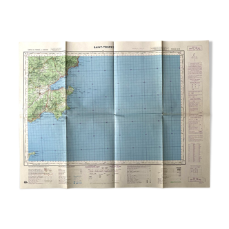
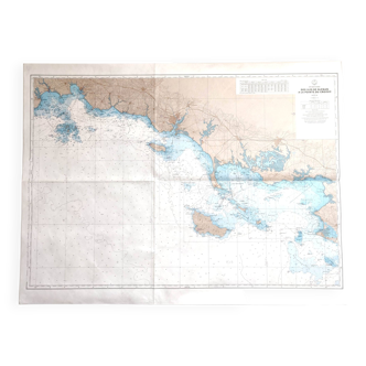
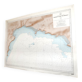
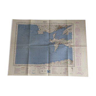
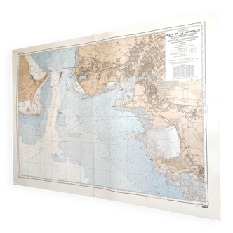
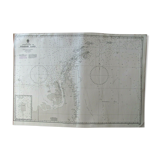
Nautical chart, chart first published by the admiralty in 1954. This map is a reprint from 1976. It measures 105 X 74. State of use, (see photos), this maps have been used on ships, they inevitably bear traces of folds, sometimes in the margin the traces of use are more important, it will be necessary in this case to reduce the margin which measures up to 8cm...