


Page 1 of 12
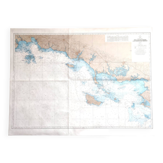
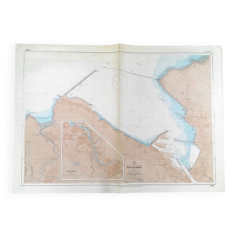
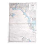
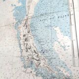
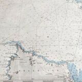
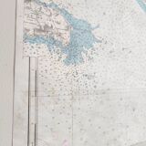
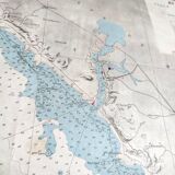
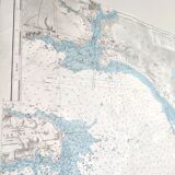
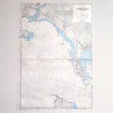
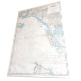
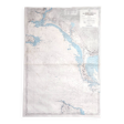
Map of Finistère and Morbihan, Atlantic coast of France
€45
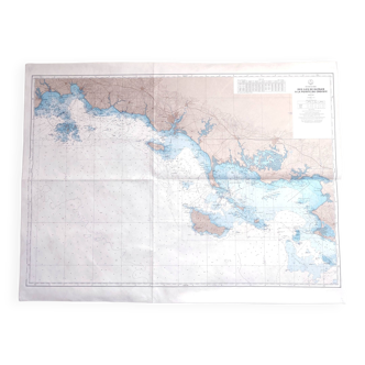
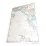
Map of Finistère and Morbihan, Atlantic coast of France
€45
- Dimensions :
- H101 x W10 x D1
- Color :
- multicolour
- Material :
- paper
- Style :
- vintage
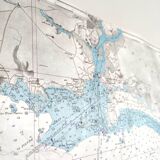
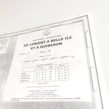
Large vintage map of Brittany (Finistère and Morbihan) from Lorient via the Bay of Morbihan to Belle-Île. Dated 1976. Dimensions: length 71cm and height 101cm. Paper map, one fold, no tear, slight marks of time.