


Page 1 of 19
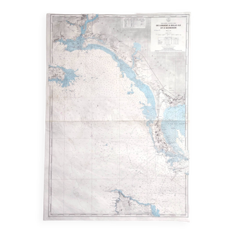
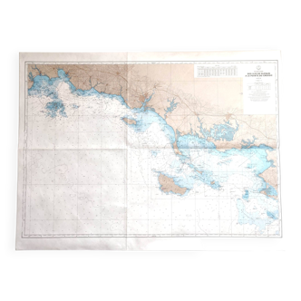
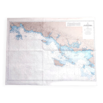
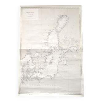
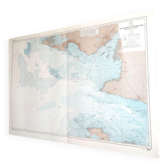
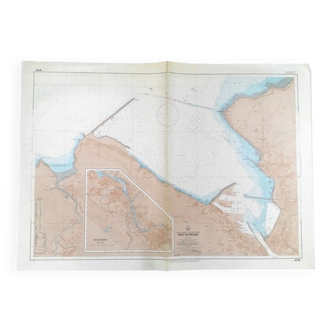
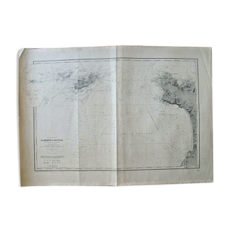
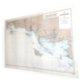
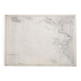
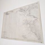
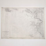
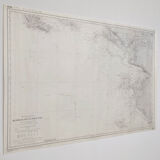
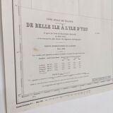
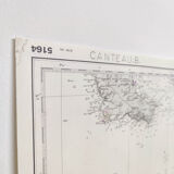
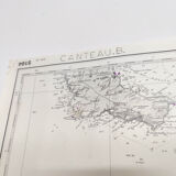
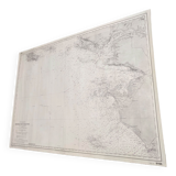
Map of the west coast of France from Belle Ile to Ile d'Yeu
€75
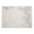
Map of the west coast of France from Belle Ile to Ile d'Yeu
€75
- Dimensions :
- H69 x W10 x D1
- Color :
- multicolour
- Material :
- paper
- Style :
- vintage
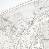
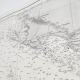
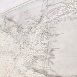
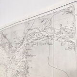
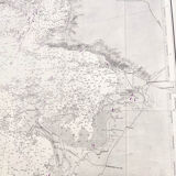
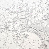
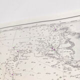
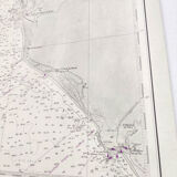
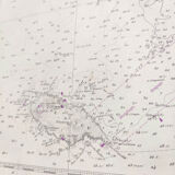
Beautiful large vintage map of the Atlantic west coast of France (Belle Île, Le Croisic, La Baule, the Loire estuary, Noirmoutier Island and Ile d'Yeu). Based on the Beautemps-Beaupré cartographic surveys. 1948 edition, dated 1975. Beautiful graphic detail and relief. Dimensions: length 96cm and height 69.5cm. Rolled cardstock map.