


Item 1 of 12
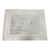
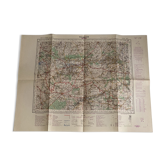
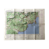
Etampes (Essonne) Geographical map of 1953 (Type1922) Drawn and published by the Institut Géog
€45

Etampes (Essonne) Geographical map of 1953 (Type1922) Drawn and published by the Institut Géog
€45
- Dimensions :
- H55 x W74
- Color :
- multicolour
- Material :
- paper
- Style :
- classic
Etampes (essonne) 1953 map (type1922) Drawn and published by the national geographical institute. Scale: 1/50000th. (740x550)mm.
Earth globes & geographical maps: other similar vintage pieces
Discover more similar items- Sold out
- -14%
- -20%
- -20%
- -31%
- -14%
- -36%
- -14%








Item 1 of 20