


Page 1 of 8
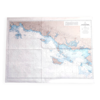
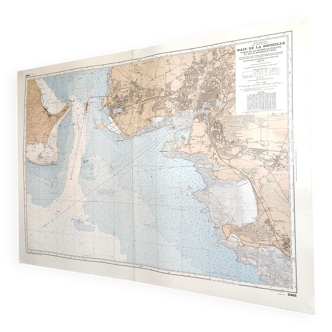
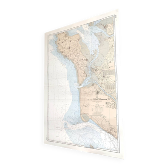
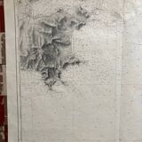
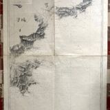
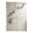
Old nautical chart - From Cap Camarat to Cap Roux via St Tropez St Raphael Ste Maxime
€80 €90
Old nautical chart - From Cap Camarat to Cap Roux via St Tropez St Raphael Ste Maxime
€80 €90
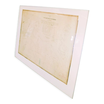
- Dimensions :
- H105 x W74
- Color :
- white
- Material :
- paper
- Style :
- vintage
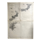
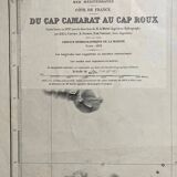
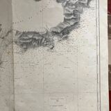
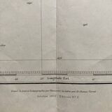
Marine map, 1912 from cap camarat to cap roux via fréjus, st tropez, st raphaël, ste maxime map drawn up in 1897 under the direction of ma mion, reissued in 1953 the map measures 105.5 X 74. Traces of folds in the width, as in the length, traces of handling.