


Page 1 of 6
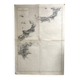
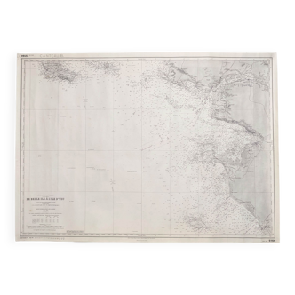
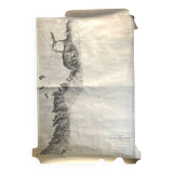
Old nautical map Mediterranean Sea - Corsica - From Bastia to Porto Vecchio
€120 €150

Old nautical map Mediterranean Sea - Corsica - From Bastia to Porto Vecchio
€120 €150
- Dimensions :
- H106 x W75
- Color :
- white
- Material :
- paper
- Style :
- classic
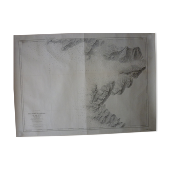
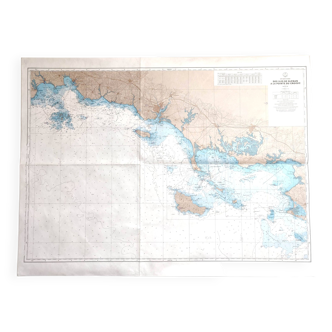
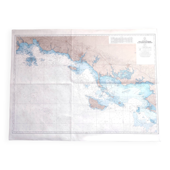
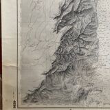
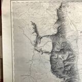
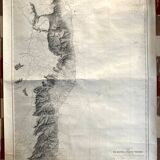
Marine map, Mediterranean Sea, Corsica, from Bastia to Porto-Vecchio, map drawn from 1884 to 1890, by L Favé, E Garnier, M Rommet de l'Isle, Hydrographic Service of the Navy Paris 1897. Engraved, the line by Huguet , the topography by dealune, the letter by dumas-vorzet. The card measures 106 x 75. Very good condition, trace of a fold across the width, discreet traces of handling.