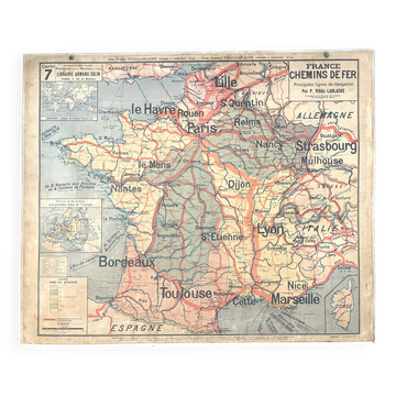
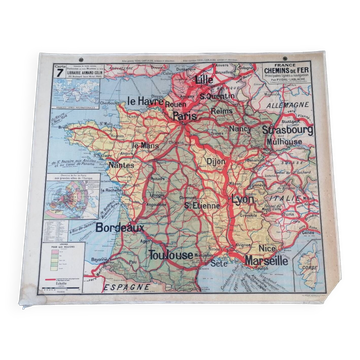
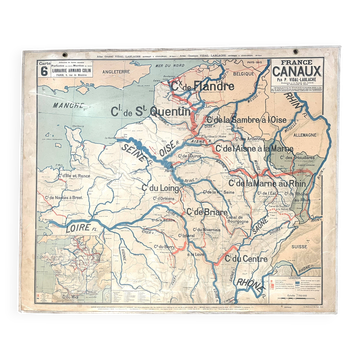
Old Vidal-Lablache map 7, Mézières, T45, 1910 - France Trains

- Dimensions :
- H120 x W100 x D0.2
- Color :
- multicolour
- Material :
- canvas
- Style :
- vintage
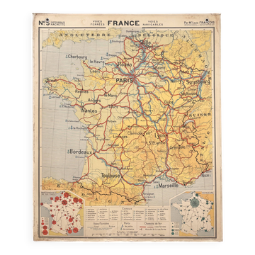
🌐 Old school geography map representing France's railways, main train and navigation lines 🌐 Scale 1 /1,000,000. Original Vidal-Lablache collection. Years 1900/10. Bookseller Armand Colin, 5, rue de Mézières, Paris. Monrocq Printing, Paris. Print run 45, list of maps up to 40. Mention "General Atlas at the top" and material at the bottom with price mentions in francs. Polychrome cardboard poster. Dimensions: 120 × 100 cm. Front: 7 railways and navigation lines (Paris, Lyon, Marseille, Strasbourg, Toulouse, Bordeaux, Lille, Le Havre, Sète, Nantes...) Back: 7 bis blank map. Medallions: Legend, Corsica, railways from Paris to major cities in Europe, major international lines. Fair condition: brass eyelets present, fabric border missing, one corner cut, small tears restored, other minor signs of use and age (see photo). Good condition for a map of this era! Beautiful patina, well-preserved colours and historical interest. Dating: before 1913. The Armand Colin editions were located at 5, rue de Mézières until 1913, and the publication of Vidal-Lablache maps began in 1885. German Alsace-Lorraine: map predating the Treaty of Versailles (1919) which returned Alsace-Lorraine to France. The city of Sète was spelled Cette until 1928. Ideal for vintage decoration, collection or original gift! Delagrave Hatier MDI Rossignol Hachette. FREE SHIPPING FOR THIS MAP! Map carefully shipped in a thick cardboard prism in France or abroad. Hand delivery possible in Lyon or nearby. Over 300 vintage posters and maps to discover! You can subscribe to my shop to be informed of new items and promotions. 7VL12.