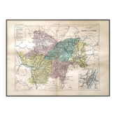
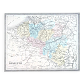
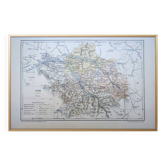
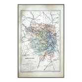
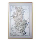
Map of the Vosges, France. Printed antiquity in 1889.

- Dimensions :
- H18 x W28
- Color :
- multicolour
- Material :
- paper
- Style :
- vintage
🧭 Travel through time and explore the Vosges department and its capital Épinal (Grand Est, France) at the end of the 19th century with this superbly detailed coloured geographical map. Printed in Paris in 1889. Thick paper with a beautiful patina. Discover this beautiful vintage poster, ideal for vintage, retro, and authentic wall decoration. An old map, engraving, lithograph, poster, or illustration, each piece adds a touch of history and character to your interior. Perfect for lovers of travel, exploration, geography, and distant destinations, as well as for enthusiasts of botany, nature, ancient art, vintage decoration, collecting, and curiosity cabinets. A beautiful way to bring a unique soul to your decor and to travel through time and eras. 🗺 These are authentic old prints and not modern reproductions. 📏 Map dimensions: L28cm X H18.5cm ⚠️ Frame not included ⚠️ 📦 Fast, protected, and careful shipping. Vosges, Vosges department, Lorraine, Épinal, Gérardmer, La Bresse, Remiremont, Saint-Dié-des-Vosges, Neufchâteau, Mirecourt, Vittel, Contrexéville, Vosges massif, Vosges mountains, old map of the Vosges.
Earth globes & geographical maps: other similar vintage pieces
Discover more similar items- -9%
- -11%