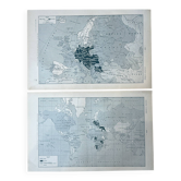
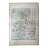
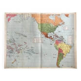
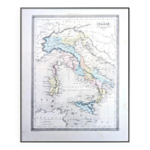
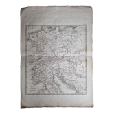
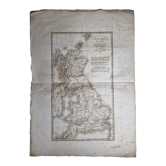
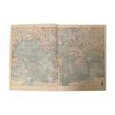
Original engraving, Levasseur world map – Mid 19th century

- Dimensions :
- H22 x W30 x D2
- Color :
- ecru
- Material :
- paper
- Style :
- industrial
Authentic original steel engraving from the mid-19th century (period 1845-1854), created by the famous French engineer-geographer Victor Levasseur. This print is an authentic plate extracted from his reference work: the Illustrated National Atlas of the 86 Departments and Possessions of France. Subject: A world map indicating French possessions in the four corners of the globe. It provides a precise cartographic overview of French trading posts and territories during the Second Republic / early Second Empire. Aesthetic: Very beautiful black and white graphics characteristic of steel prints from the era. The sheet features large framed explanatory historical and statistical texts at the bottom. Dimensions: Original atlas sheet format close to A4. Condition: Good state of freshness for a document that has survived over 170 years. Period paper with its natural patina. Note an old water stain (trace of humidity) discreetly in the lower left corner, which bears witness to its history without altering the finesse of the central drawing. The left margin is raw and frayed, confirming a clean extraction from its original volume. Ideal for adding a historical touch and a "cabinet of curiosities" spirit to your interior.
Earth globes & geographical maps: other similar vintage pieces
Discover more similar items- -46%
- Sold out
- -57%
- -50%
- -76%
- -11%