


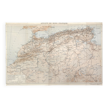
Old map of Algeria and Tunisia 72.5x47cm
€22

Old map of Algeria and Tunisia 72.5x47cm
€22
- Dimensions :
- H47 x W72 x D1
- Color :
- multicolour
- Material :
- paper
- Style :
- vintage
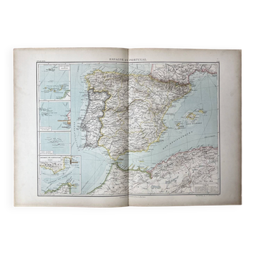
Map published by the Ch. Delagrave bookstore, Paris, no. 23. Coloured map of Algeria and Tunisia, outlining the French departments of Algiers, Oran, and Constantine, military subdivisions, roads and railways, topographical sections of the Chotts basin in the margin. The presence of the French departments in Algeria places this edition in the colonial period, an exceptional cartographic document representing a world that has now disappeared. Dimensions: 72.5 x 47 cm. Condition: very good. Careful and protected delivery, or free collection in Paris and Lyon.
🇫🇷 HPF S.Professional sellerSuper ProSuper Pro : these sellers are experienced and best-rated by our customers.See the shop
327 sales
4.92 ()
Botanical & zoological posters: other similar vintage pieces
Discover more similar items- -46%
Item 1 of 20