Sold out


Page 1 of 6
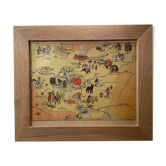
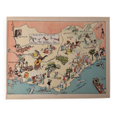
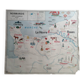
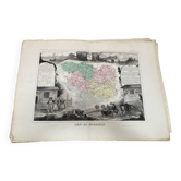
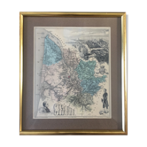
Old illustrated map of Normandy 1935 - JP Pinchon
This item has found its owner, but other one-of-a-kind items await you. 👇
Discover similar items- Dimensions :
- H24 x W30
- Color :
- multicolour
- Material :
- paper
- Style :
- vintage
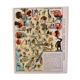
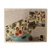
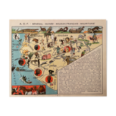
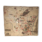
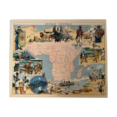
Old map of normandy, illustrated by émile-joseph-porphyre pinchon (the cartoonist bécassine), taken from "les provinces de france illustrées", published by blondel la rougery. Visible signature of j.p. Pinchon. Date: 1935. Dimensions: 29.7 X 23.5 cm. To be framed. Perfect for a children's room. Lithography, engraving, painting, decoration, decoration, vintage, christmas gift idea. Geography, france, manche, calvados, eure, orne, seine maritime, caen, cherbourg, avranches, etretat, lisieux, elboeuf, evreux, rouen, le havre, flers, isigny, deauville, honfleur, trouville.