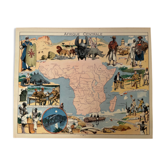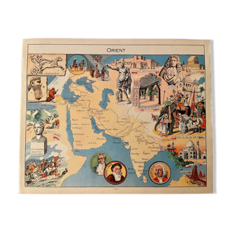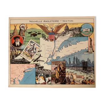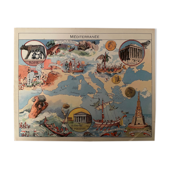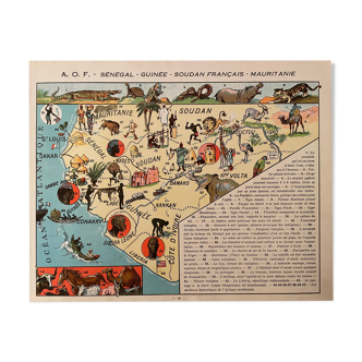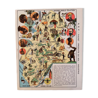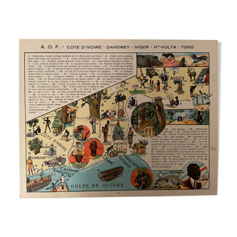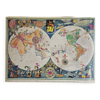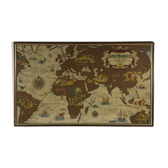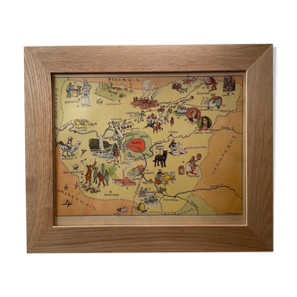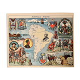
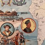

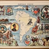


Old illustrated map of andean america from 1948 - jp pinchon
- Color :
- multicolour
- Material :
- paper
- Style :
- vintage
Ancient extremely rare map of andean america (original), illustrated by émile-joseph-porphyre pinchon (the cartoonist of the comic strip bécassine), extracted from "l'épanouissement du monde", published by blondel la rougery. Visible signature of j.p. Pinchon. 💎 all lithographs and maps in this account are originals and not copies. Date: 1948. Other illustrated maps on the polar regions, new york, the united states, brazil, argentina, canada, china, indochina, the west indies, europe, the scientific rise of europe, and other countries... Dimensions: 24 X 30 cm. To be framed. Deco, country house decoration, vintage, gift idea and country house. Geography cartography history explorers andes cordilleras bolivia bolivar americ vespuce colombia venezuela peru brazil pizarro lima cuzco santiago chile incas south america.