Sold out
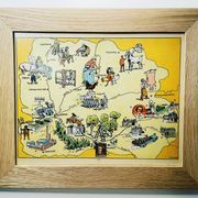
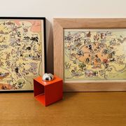
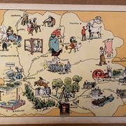
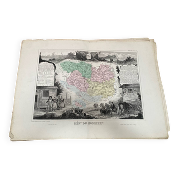
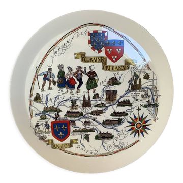
Old illustrated map map regions Mayenne Sarthe Maine & Loire Indre & Loire - JP Pinchon
This item has found its owner, but other one-of-a-kind items await you. 👇
Discover similar items- Dimensions :
- H30 x W24
- Color :
- multicolour
- Material :
- paper
- Style :
- vintage
Old map of the maine-anjou-touraine regions, illustrated by émile-joseph-porphyre pinchon (the cartoonist bécassine), taken from "les provinces de france illustrées", published by blondel la rougery. Visible signature of j.p. Pinchon. Date: 1927. Dimensions: 23.5 X 29.7 cm. To be framed. Perfect for a children's room. Lithograph, engraving, painting, decoration, decoration, vintage, gift idea. Geography, france, mayenne, sarthe, maine-et-loire, indre-et-loire, tours, le mans, laval, angers, saumur, cholet, chinon, loches.
Wall decoration: other similar vintage pieces
Discover more similar items- Sold out
- -33%
- -25%
- -12%
- -31%
- -27%
Item 1 of 20