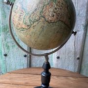
Antique Globe J. Lebègue & Cie, Paris — Circa 1885 / 1890 (Edition
- Dimensions :
- H51 x W25 x D25
- Color :
- multicolour
- Material :
- wood
- Style :
- classic
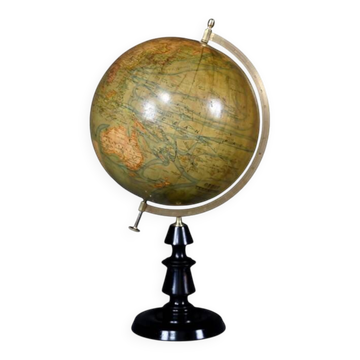
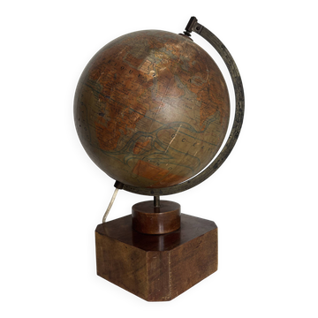
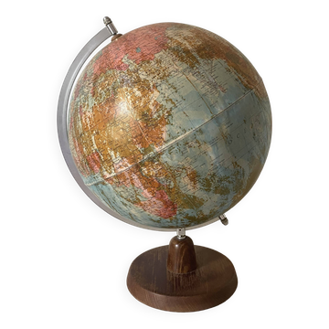
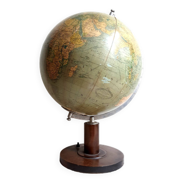
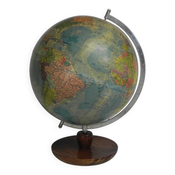
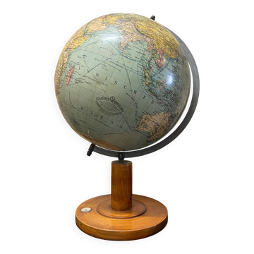
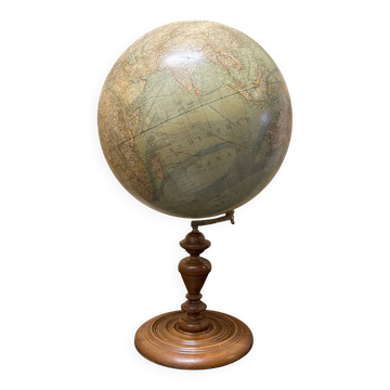
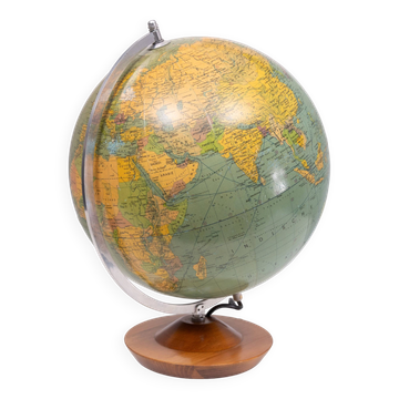
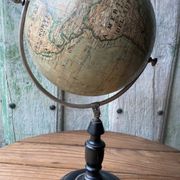
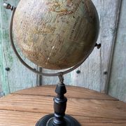
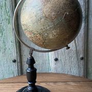
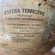
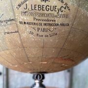
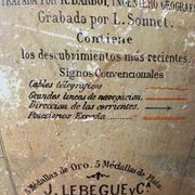
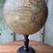
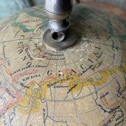
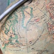
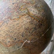
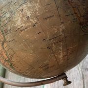
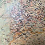
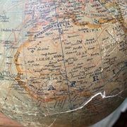
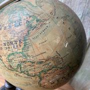
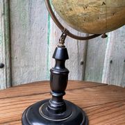
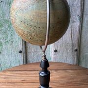
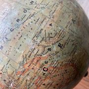
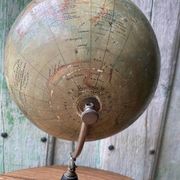
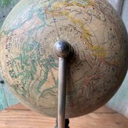
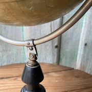
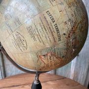
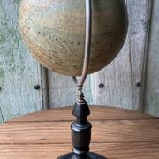
Exceptional and genuine late 19th-century tabletop globe, manufactured in Paris by the renowned cartographic house Jules Lebègue & Cie (historically located at number 30 Rue de Lille). This is a fully Spanish-language edition, designed under the direction of French geographer engineer R. Barbot and engraved by L. Sonnet. It was an officially adopted globe at the time by the Spanish Minister of Public Instruction for pedagogical and institutional use. Height 51 cm Diameter 25 cm It retains the upper and lower cartouches completely legible, highlighting the firm's awards ("5 Gold Medals. 5 Silver Medals"). Mounted on an original graduated metal meridian and supported by an elegant turned ebonised wooden base in black. The map accurately reflects the colonial and political borders of the 1880s - 1890s: It shows the European continent prior to World War I, detailing the Austro-Hungarian Empire, the Russian Empire, and Prussia. In Africa, the distribution prior to absolute colonial partition is observed, detailing historical regions such as Ottoman Egypt, Tripoli, the Sahara, Darfur, and the Congo Free State. In Oceania, the Caroline Islands are listed under the label "Spanish Possessions, " reflecting Spanish sovereignty prior to their sale to Germany in 1899. The globe is presented in its original unrestored state, maintaining a very attractive antique patina. As is common with papier-mâché and stucco globes over 130 years old, it shows signs of wear from time: • Visible cracks and fracture lines on the surface of the southern hemisphere (South Atlantic area and African coast), with minor losses of lithographed paper that do not impede the overall readability of the map. • The turned ebonised wooden base remains firm, stable, and in good structural condition. (Please carefully review the attached detailed photographs, which form part of the description.).
Earth globes & geographical maps: other similar vintage pieces
Discover more similar items- -21%
- Sold out
- -23%
- Sold out