Sold out


Page 1 of 12
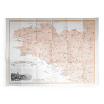
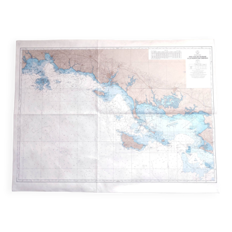
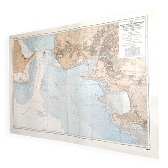
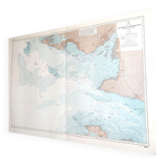
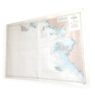
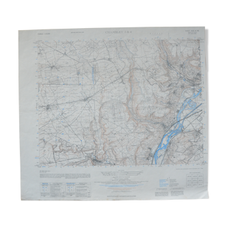
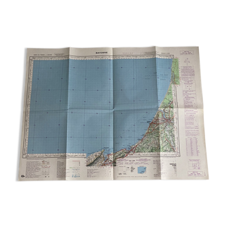
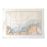
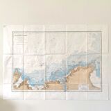
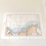
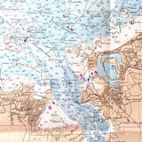
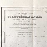
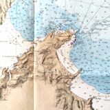
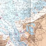
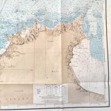
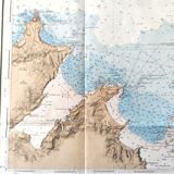
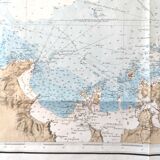
Ancient map Brittany St Malo Dinard and its surroundings 105 x 75cm
€95 €110
🙈 Oops, this product is already sold or unavailable. Discover our 1500 new products or products similar to this item !
- Dimensions :
- H75 x W105 x D1
- Color :
- multicolour
- Material :
- paper
- Style :
- vintage
Nice big vintage map of the north coast of brittany, from cap fréhel to cancale, the outskirts of saint malo. Map drawn in 1829, 1934 editions. Length 105cm and height 75cm. Beautiful condition, paper, folded map.
🇫🇷
Alan P.
Super Pro
Sellers like this? We'd like to have thousands of them! This seller has fulfilled all of their clients' expectations. Will you be up next?
1135 sales
4.98 ()