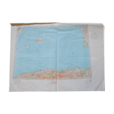
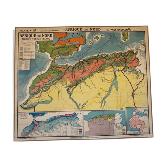
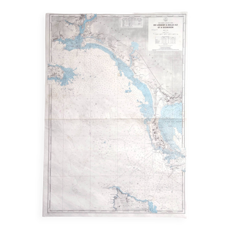
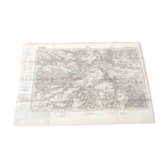
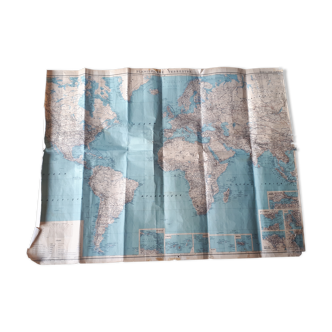
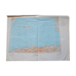
Vintage IGN map of Algiers
- Dimensions :
- H73 x W99
- Color :
- multicolour
- Material :
- paper
- Style :
- vintage
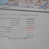
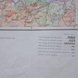
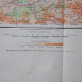
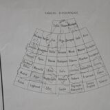
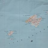
Map of Algiers drawn, drawn and published by the National Geographic Institute in 1945. Print run of February 1947. Europe 1,000,000. I got this map (and about twenty others!) from a gentleman who worked at the SNCF. The present map is part of a set divided into 45 maps. I have 3 (Algiers, Madrid and Naples-Tunis). The map has a tear at the top, in the white area (photo). It is 99 cm wide and 73 cm high. Originally I wanted to put the maps in a frame but the price would have been higher and the shipping would have been complicated. You can choose the frame you want! Colors may differ between the screen and reality. ----------------------------------------------------------------------------------------------------- all items are carefully packaged. The packaging I use is recycled, which helps avoid waste and reduce costs. Always with the goal of preserving our planet, I only mail packages once a week. If the order is urgent, please contact me!
4.67 ()
