


Page 1 of 10
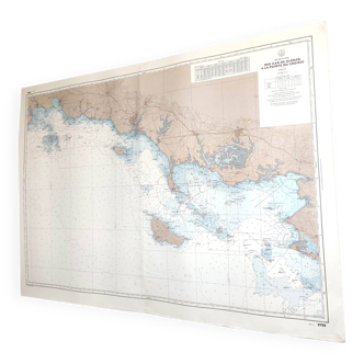
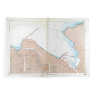
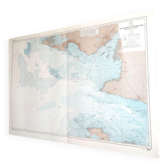
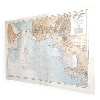
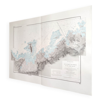
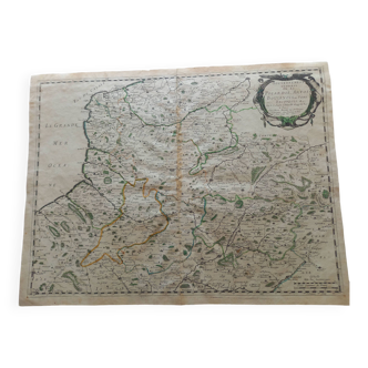
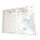
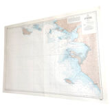
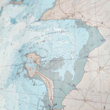
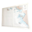
Map West Coast France from Belle île to Noirmoutier Island 1981
€60
Map West Coast France from Belle île to Noirmoutier Island 1981
€60
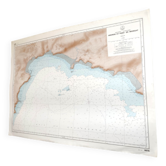
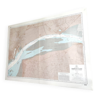
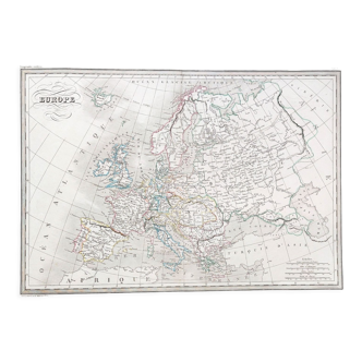
- Dimensions :
- H82 x W116 x D1
- Color :
- multicolour
- Material :
- paper
- Style :
- vintage
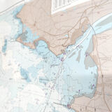
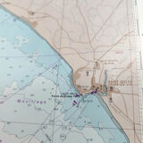
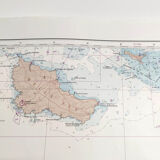
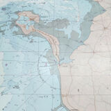
Large vintage map west coast of the france (atlantic coast) the loire estuary, from belle île to the island of noirmoutier. Dated 1981. Dimension: length 116cm and height 82cm. Catoned paper map, a fold in the center.
🇫🇷
Alan P.
Super Pro
Sellers like this? We'd like to have thousands of them! This seller has fulfilled all of their clients' expectations. Will you be up next?
1140 sales
4.98 ()