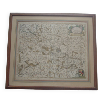
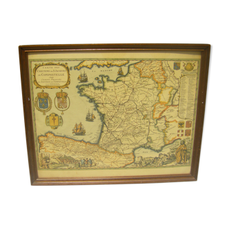
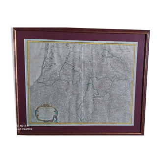
Map of the provinces of the Netherlands by G. G. De Rossi and G. Cantelli, 1672
This item has found its owner, but other one-of-a-kind items await you. 👇
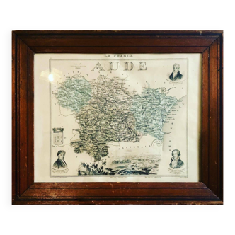
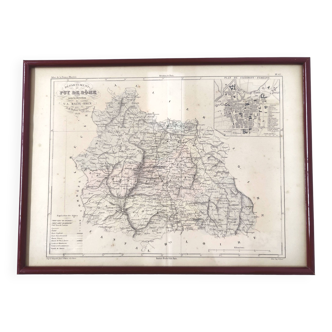
Discover similar items- Dimensions :
- H42 x W53 x D3
- Color :
- beige
- Material :
- paper
- Style :
- classic
Map of the provinces of the Netherlands by Giovanni Giacomo De Rossi and Giacomo Cantelli, 1672. Original contemporary engraving in a frame. Decorative map of the Netherlands, published by Rossi in his "Mercurio geografico ovvero guida geografica in tutte le parti del mondo conform le tavole geografiche del Sansone, Baudrand e Cantelli". The map is colored by region and shows cities, rivers, forests and many other details. Giovanni Giacomo De Rossi (1627-1691) was an Italian engraver and printer. He worked in Rome, heir to an important printing company founded by his father, Giuseppe de Rossi (1570-1639). Giuseppe started the printing business in 1633 and when he died, Giovanni and his brother Giandomenico (1619-1653) took over the business. The brothers expanded the business, and by the mid-17th century, it was the best-known printing house in Rome. For his maps, Giovanni collaborated with Giacomo Cantelli da Vignola. They produced the Mercury Geographical Atlas. The first edition is undated, but the second was published in 1692, a year after Giovanni's death. The maps were by Cantelli. The company also published maps based on those of Nicolas Sanson. Later, the business passed to Lorenzo Filippo (1682-?). In 1738, the company was known as Chalcografia Camerale, and then, from 1870 to 1945, as Regia Calcografica. Today, the company still exists and is called Calcografia Nazionale. It operates as a free museum and offers one of the best collections of prints and plates in the world.