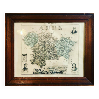
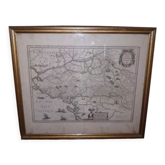
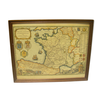
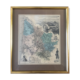
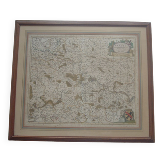
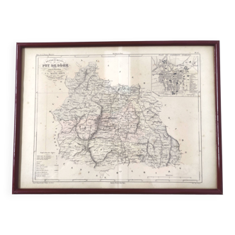
Framed Map of the Netherlands from the Theatrum Orbis Terrarum by Abraham Ortelius (1570)
- Dimensions :
- H47 x W64 x D3
- Color :
- beige
- Material :
- paper
- Style :
- vintage
A framed old map of the netherlands, originally published in 1570 in the theatrum orbis terrarum, widely considered to be the first modern atlas, by cartographer abraham ortelius. Theatrum orbis terrarum shaped the future of cartography throughout the 17th century. It utilized text and maps to fully explore the known world. The maps are incredibly detailed and are a combination of science and art that has rarely been surpassed in the history of mapmaking: they feature renaissance-style cartouches and decorative work including sea vessels, mythological monsters, birds, medallions, and more. This particular vintage print was done on fabric in den haag, the netherlands, by the firm van rijmenam (as can be read in the bottom left, just under the map), likely some time halfway through the 20th century. It was created for instituut schoevers, a well-known dutch school of commerce (see stamp in the bottom right). This map of the netherlands features latin text and all the old dutch names for cities, rivers, lakes and regions. It is made in colours of light blue and light brown. It is in excellent condition. Contrary to modern maps of holland, which are vertically oriented, this old map is horizontally oriented. Comes in a frame: 64 cm wide. 47.5 cm tall and weighs approximately 2.45 kg.