Page 1 of 7
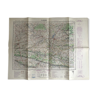
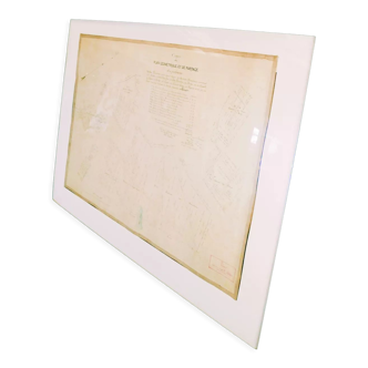
Old map of Perpignan Bridges and roads
€40 €50
🎁 30€ off on your first order with the code SELENCY30.
Learn more
Enjoy €30 off with a minimum order value of €300 (delivery cost excluded).
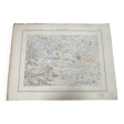
Old map of Perpignan Bridges and roads
€40 €50
- Dimensions :
- H45 x W59 x D1
- Color :
- beige
- Material :
- paper
- Style :
- classic
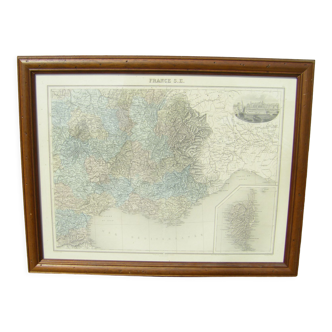
Very nice map of perpignan published in 1899 map of the ministry of public works printed by lemercier & cie france stamps bridges and roads inventory of the chief engineer with inventory number. Partially colored map good condition but a tear at montfort. Without gravity concerns flat and damaged on some sides. No significant damage. Dimensions 59.7 / 45.3cm. Rolled shipment.


