Unavailable


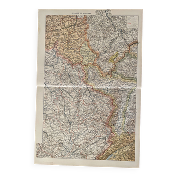
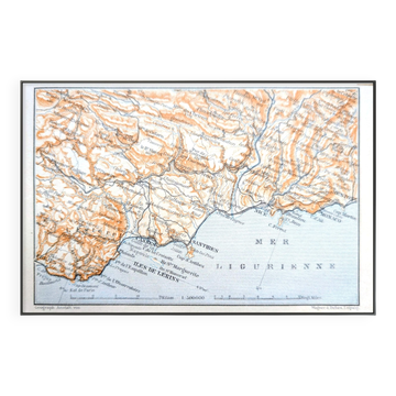
Old map of the Nantua region.
This item has found its owner, but other one-of-a-kind items await you. 👇
Discover similar items- Dimensions :
- H40 x W32 x D1
- Color :
- multicolour
- Material :
- paper
- Style :
- classic
Old map of the Nantua region from the late 19th century to the early 20th century. Scale 1: 200,000, which is 1 cm for 2 km. Printing: front only. Dimensions when unfolded: 32 x 40 cm. Weight: 17 g. Map in good condition. Notes have been written on the back in ink regarding the hotel rates at the time in Nantua, Bellegarde, Collonges...
Earth globes & geographical maps: other similar vintage pieces
Discover more similar items- -8%
- -16%
- -21%
- Sold out
- Sold out

Item 1 of 20