Sold out


Page 1 of 14
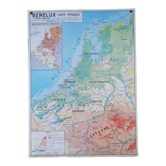
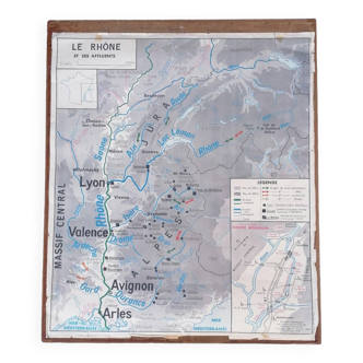
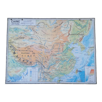
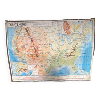
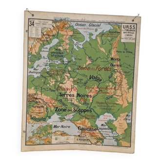
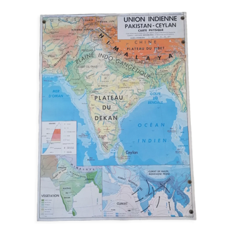
Old school map of geography 1960 Pyrenees and the Alps
This item has found its owner, but other one-of-a-kind items await you. 👇
Discover similar items- Dimensions :
- H75 x W90 x D1
- Color :
- white
- Material :
- paper
- Style :
- vintage
Solar map of ancient geography 1960. Nalliers. Educational poster. History geography. Old school card in cardstock. Map of france showing the pyrenees and the alps. Beautiful colors. Decorative. It's reminiscent of when we were at school! The poster holder was handmade by a craftsman. It is removable. It just pinches the poster/map. The card is double-sided. So you can change the face at will. 1st side: map of france and the pyrenees with toulouse, perpignan, pau, tarbes and carcassonne. 2nd side: map of france and the alps with grenoble, lyon, valence, avignon, aix en provence, arles, cannes and nice and italy!.