Page 1 of 18
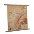
Geography map school map Jura and Massif Central
€90
Geography map school map Jura and Massif Central
€90
- Dimensions :
- H90 x W75 x D1
- Color :
- multicolour
- Material :
- paper
- Style :
- vintage
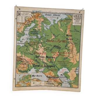
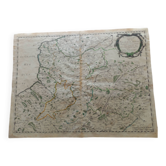
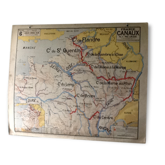
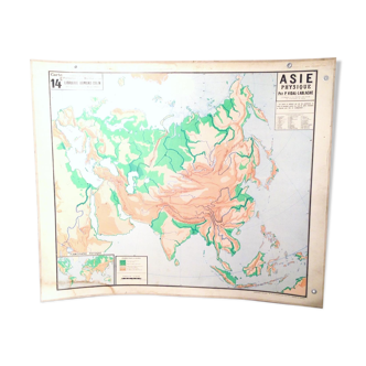
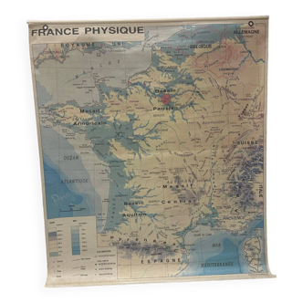
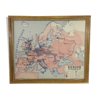
Old geography map school map of the jura and the massif central. Old geography solar map 1960. Nalliers. Educational poster. History geography. Old school map in cardboard paper. Map of france showing lyon limoges toulouse dijon bourges clermont-ferrand, the auvergne mountains and also geneva, mulhouse, belfort, switzerland and lausanne. Beautiful colors. Decorative. It reminds us of when we were on the school benches! The poster holder was handmade by a craftsman. It is removable. It just pinches the poster. The map is double-sided. So you can change the side as you wish. 1st side: the jura. 2nd side: the massif central.


