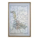
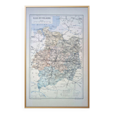
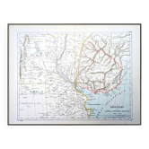
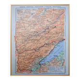
Map of the Loire, printed in 1889.

- Dimensions :
- H28 x W17 x D1
- Color :
- multicolour
- Material :
- paper
- Style :
- vintage
Original document, it is not a modern reproduction. 🧭 Travel back in time and explore the Loire and its capital Saint-Étienne at the end of the 19th century with this superb, highly detailed coloured geographical plate. Printed in Paris in 1889. Thick paper with a beautiful patina. Geographical maps, world maps, botanical plates, sciences and natural history, zoological plates, prints, anatomical illustrations, old documents, drawings, advertising posters, engravings, and photographs of all kinds, for an Old School Retro Vintage and especially Authentic decoration! An original gift, to treat yourself or to give! 📏 Dimensions of the map: L17.5cm X H28cm. ⚠️ Frame not included ⚠️ 📦 Fast, protected, and careful shipping. The posters are sent flat in a plastic sleeve and a rigid cardboard envelope. Careful and personalised packaging. Feel free to ask me to include a personalised message if you wish to gift this order for a special occasion. 🔎 The item is rated as "good condition" given its age; it obviously shows some signs of wear. The photos will allow you to see the actual condition as the item in the photo will be the one shipped; there is no stock. 🚚 Delivery in France and internationally.
Earth globes & geographical maps: other similar vintage pieces
Discover more similar items