


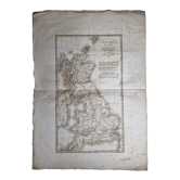
Old illustrated map of South America
€30€40

Old illustrated map of South America
€30€40
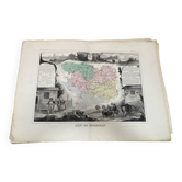
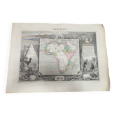
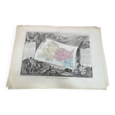
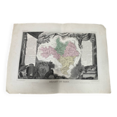
Very beautiful map of the 19th century illustrated universal atlas of south america semi-colored. Dimensions 55/38.8cm. Statistical descriptive paragraph. Published by pelissier publisher rue des noyers paris / printer lemercier geographer engineer, rue de seine paris. Illustrated by raymond bonheur painter and engraved by laguillermie rue st jacques map in good condition some defects on the sides but illustration without defects. Rolled shipping. Many other maps for sale, see my ads or contact me. Maps of the french colonies, continents and french departments of the 19th.
Earth globes & geographical maps: other similar vintage pieces
Discover more similar items- -25%
- -25%
- -25%
- -25%
- -73%
- -48%
- -14%
- -9%
- -12%
- -46%
- Sold out
- -27%
- -76%







Item 1 of 20