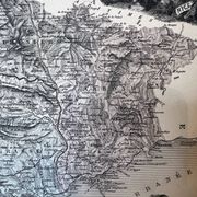
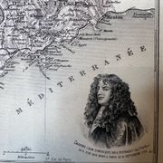
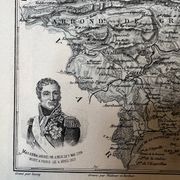
Map of the Alpes-Maritimes - Massena and Cassini, 27x31cm
€21
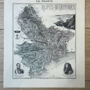
Map of the Alpes-Maritimes - Massena and Cassini, 27x31cm
€21
- Dimensions :
- H31 x W27 x D1
- Color :
- multicolour
- Material :
- paper
- Style :
- classic
Engraved map of the Alpes-Maritimes, extracted from the atlas "La France", prepared under the direction of J. Migeon. It represents the districts of Nice, Grasse, and Puget-Théniers, with portraits of Masséna and Cassini, the arms of Nice, and a view of the city in a medallion. A 19th-century document, precise on the relief, the alpine passes, and the layout of the roads in the Nice region. A sought-after piece by enthusiasts of regional cartography and the history of the Côte d'Azur. Format: 27 X 30.9 cm. Condition: excellent condition. Carefully packaged and protected delivery, or free collection in Paris and Lyon.
🇫🇷 HPF S.Professional sellerSuper ProSuper Pro : these sellers are experienced and best-rated by our customers.See the shop
322 sales
4.94 ()
Earth globes & geographical maps: other similar vintage pieces
Discover more similar items- -9%
- -14%
- -46%
- -31%
- -57%
Item 1 of 20