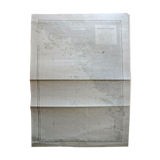
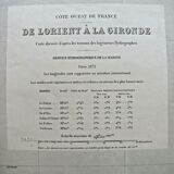
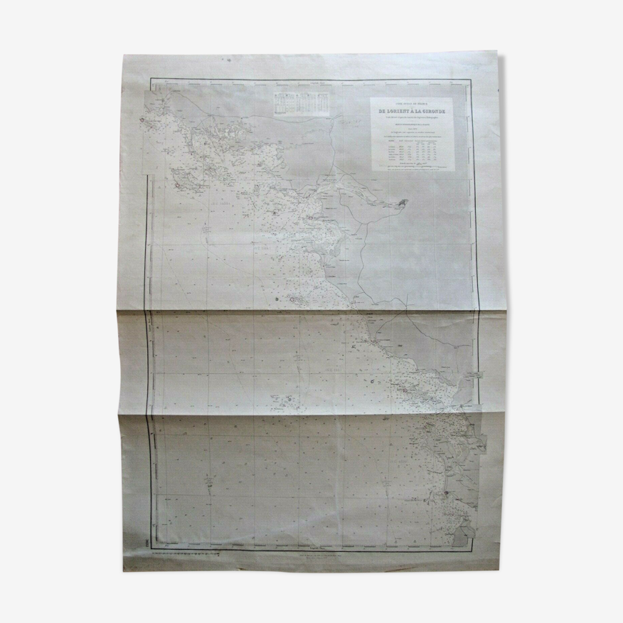
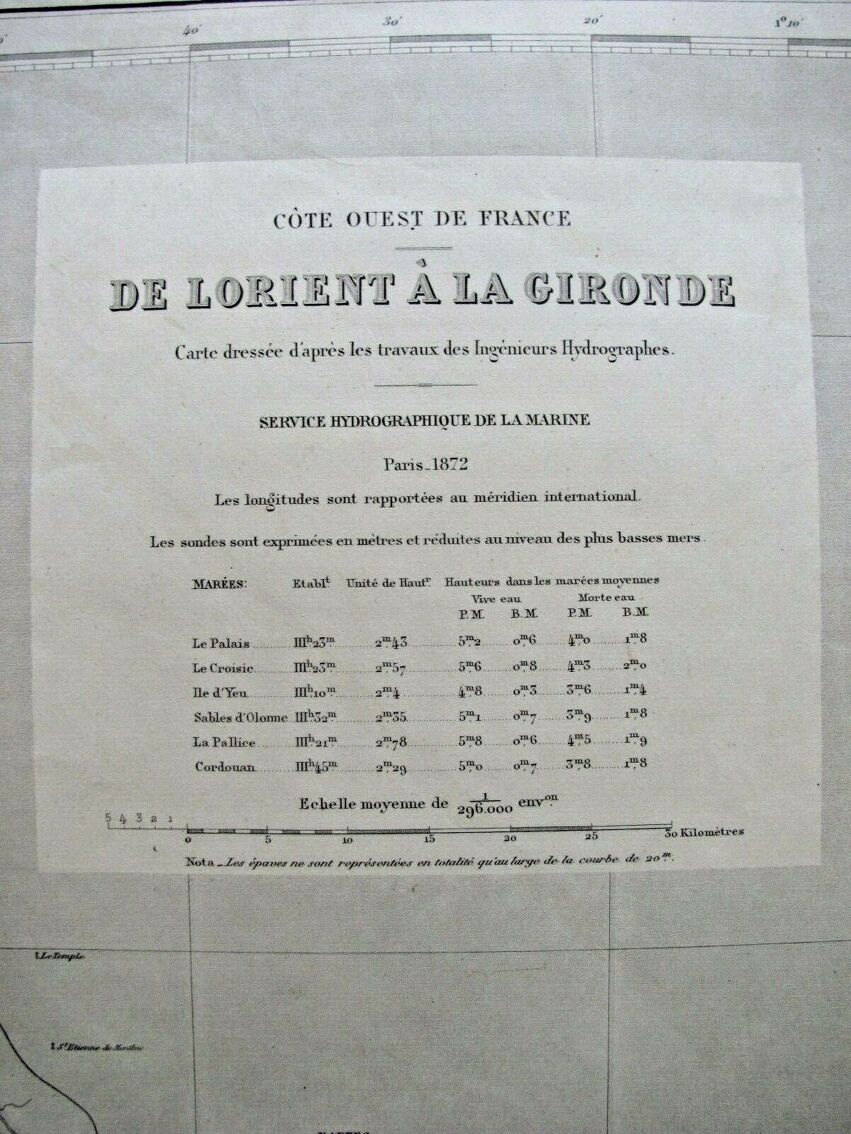
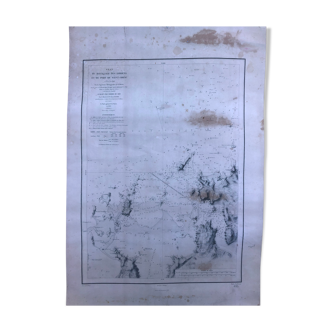
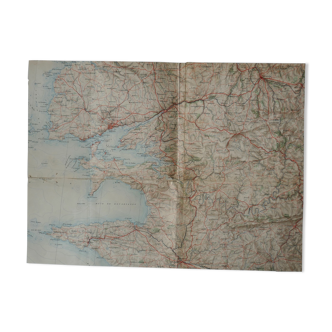
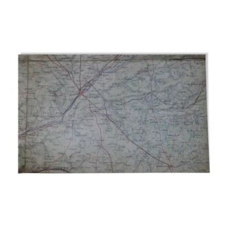
Nautical chart From Lorient to gironde - Vannes La Rochelle Sables d'Olonne D'Yeu
- H105 x W74 x D2
- paper
- white
4.62 ()
🙈 Oops, this product is already sold or unavailable. Discover our 1500 new products or products similar to this item !
Description
Nautical chart, drawn up after the work of hydrographers in 1872. This map is a reprint of 1954, edition n°7. State of use, (see photos), this maps have been used on ships, they inevitably bear traces of folds, sometimes in the margin the traces of use are more important, it will be necessary in this case to reduce the margin which measures up to 8cm...
Ref. : CURCAX3T
- Dimensions :
- H105 x W74 x D2
- Color :
- white
- Material :
- paper
- Style :
- vintage
4.62 ()

Return your item within 14 days
Cherry-picked items
Carrefully selected sellers
100% secured payment