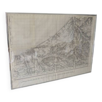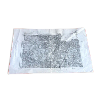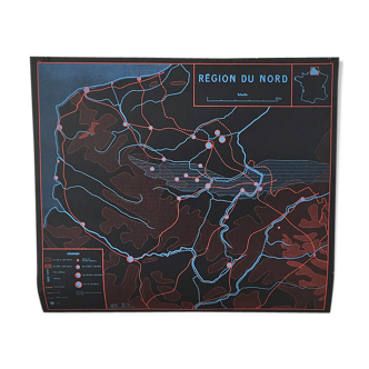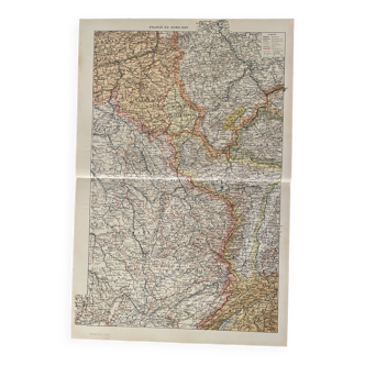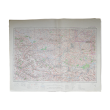
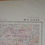
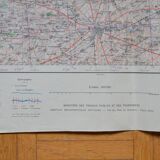
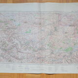
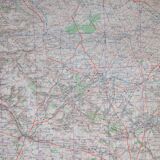


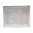
Map No. 4 Lille army edition
- Dimensions :
- H54 x W73
- Color :
- multicolour
- Material :
- paper
- Style :
- vintage
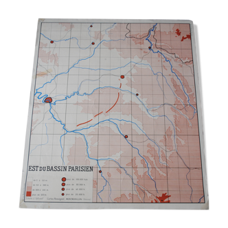
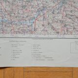
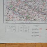
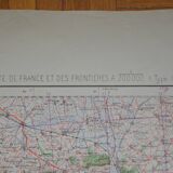
Map of Lille, army edition. Map No. 4. Drawn up, photoengraved and published by the Army Service in 1936. Map of France and its 200,000 borders (1912 type). The map is 73 cm wide and 54 cm high. I got this map (and about twenty others!) from a gentleman who worked at the SNCF. Originally, I wanted to put the maps in a frame, but the price would have been higher and shipping would have been complicated. You can choose the frame you want! Colors may differ between the screen and reality. ----------------------------------------------------------------------------------------------------- all items are carefully packaged. The packaging I use is recycled, which helps avoid waste and reduce costs. Always with the aim of preserving our planet, I only post packages once a week. If the order is urgent, please contact me!
4.64 ()