Great deal
Page 1 of 6
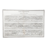
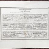
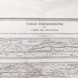
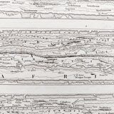
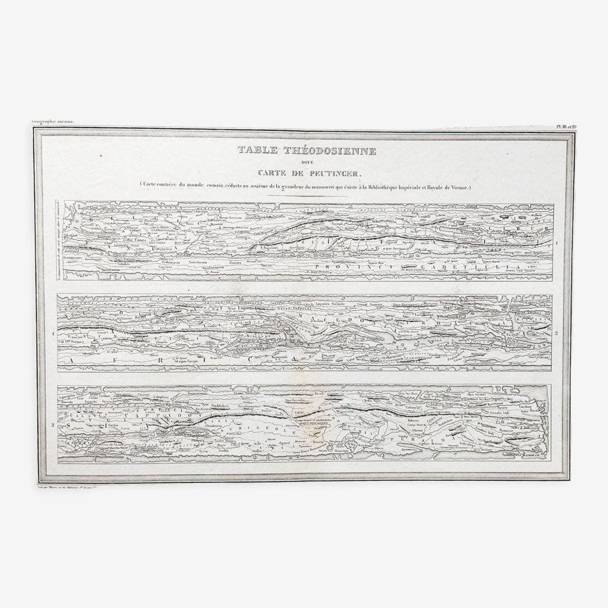
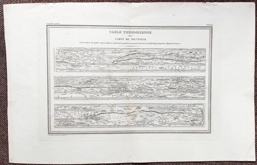
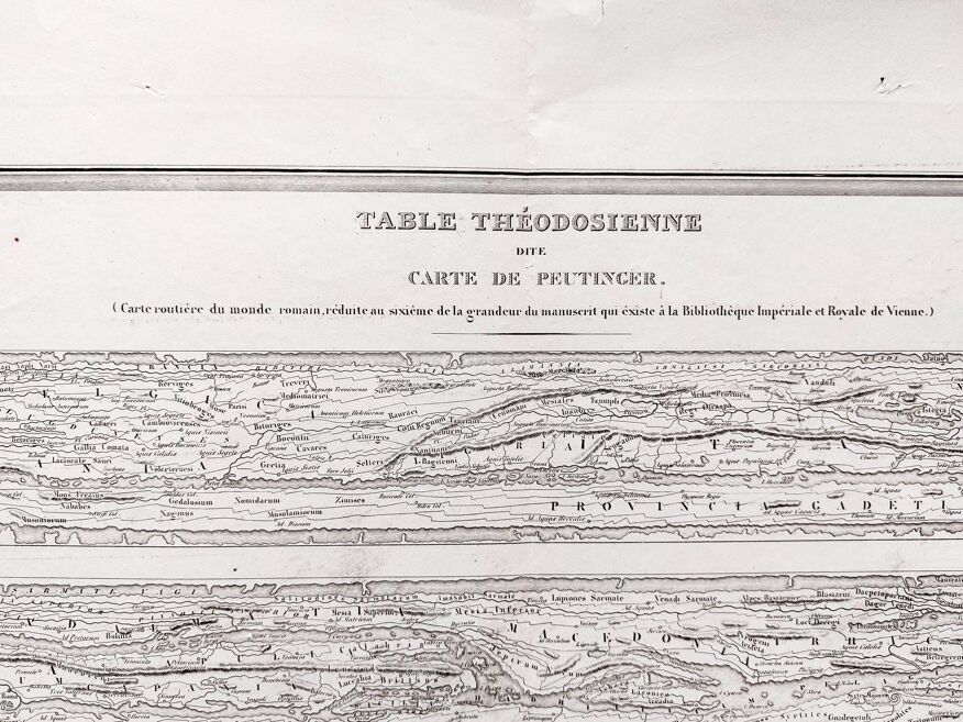
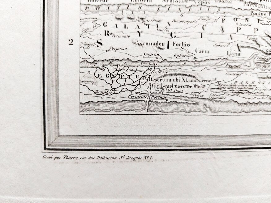
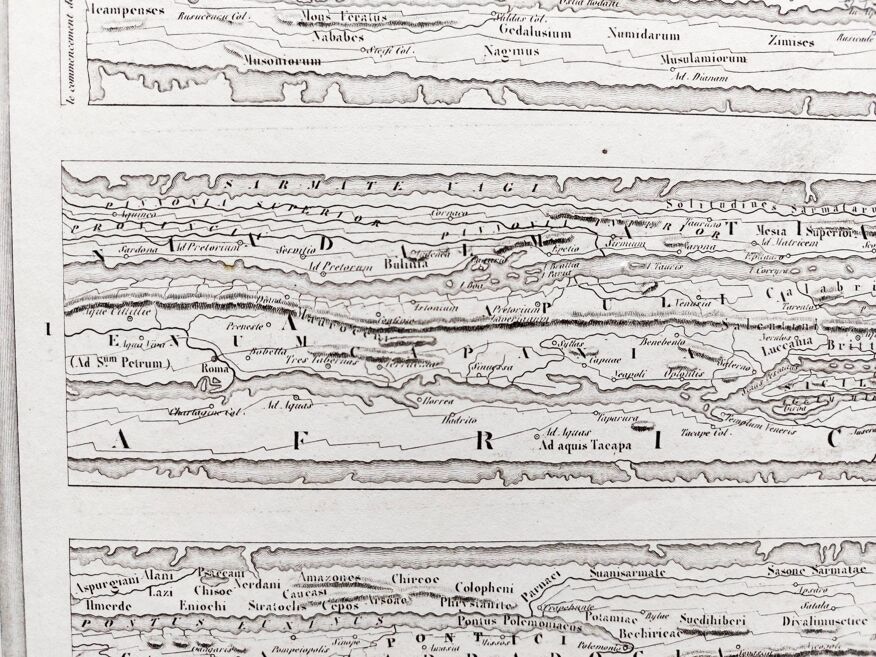
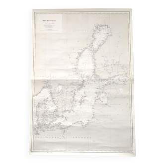
Old map, Theodosian table called Peutinger map - 1836
€60 €98
- Great deal
- H40 x W63
- paper
- white
Baptiste N.
5 sales
Description
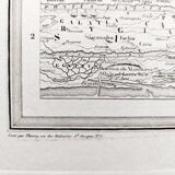
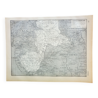
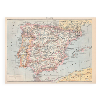
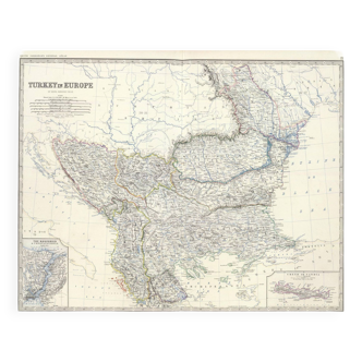
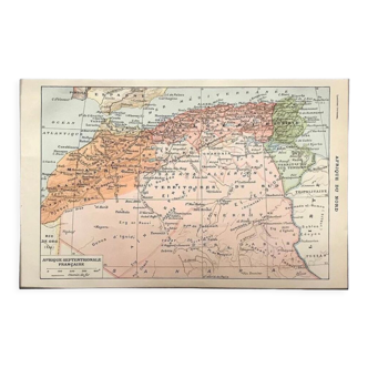
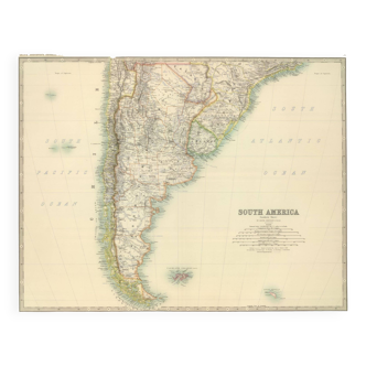
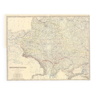
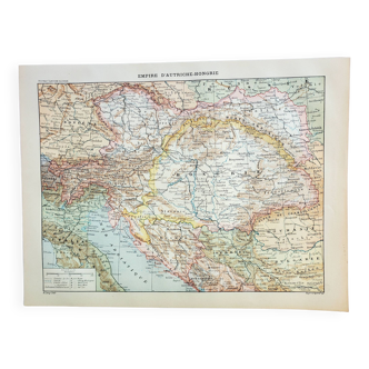
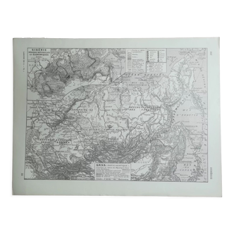
Old map 1836. Hand-colored engraving. Theodosian table known as peutinger's map, from the "complete atlas of the precise of universal geography" by m. Malte-brun in 1836. Engraved by thierry rue des mathurins saint jacques n°1. Paper dimensions: 63x40 cm. Dimensions engraving: 41.5x28 cm. Good general condition for age. Some small tears on the perimeter - some stains - normal tarnishing of the paper - original central fold. Look at the photos to realize the defects.
Ref. : XXFZ4QE7
- Dimensions :
- H40 x W63
- Color :
- white
- Material :
- paper
- Style :
- classic

Return your item within 14 days
Cherry-picked items
Carrefully selected sellers
100% secured payment