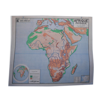
Large Educational Wall Chart or Map of Africa, Germany 1950s
This item has found its owner, but other one-of-a-kind items await you. 👇
Discover similar items- Dimensions :
- H210 x W200 x D2
- Color :
- multicolour
- Material :
- paper
- Style :
- industrial
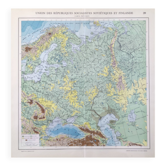
A striking relic of post-war European pedagogy, this vintage school wall map of Africa was produced in Germany during the 1950s, a period marked by both reconstruction and renewed global curiosity. Titled “AFRIKA, ” the map captures the continent in vivid topographical detail, rendered in a palette of greens, ochres, and siennas that reflect mid-century cartographic aesthetics. Designed for classroom use, the map is mounted on a sturdy black frame with its original hanging string intact, evoking the tactile charm of analog learning environments. German-language labels and elevation shading offer a glimpse into the educational priorities of the era, while the surrounding oceanic contours hint at Cold War-era geopolitical awareness. This piece is in good vintage condition, bearing authentic signs of age such as gentle creasing, patina, and edge wear, each mark a testament to decades of use and observation. Ideal for collectors of educational ephemera, vintage maps, or mid-century design, it serves equally well as a decorative statement in a study, library, or travel-inspired interior. A rare and evocative artifact that bridges geography, design, and history.
5 ()