Page 1 of 9
German School Map 1940-41 220x220cm
€290
German School Map 1940-41 220x220cm
€290
- Dimensions :
- H220 x W220 x D5
- Color :
- black
- Material :
- paper
- Style :
- classic
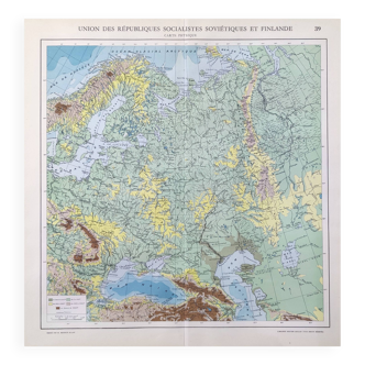
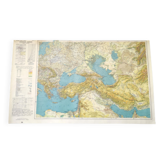
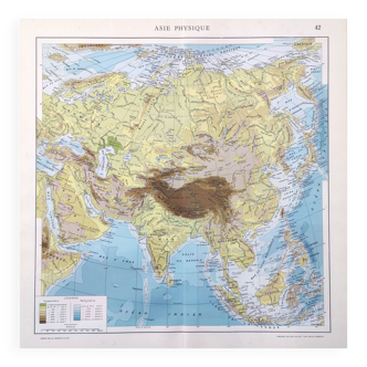
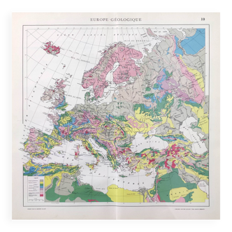
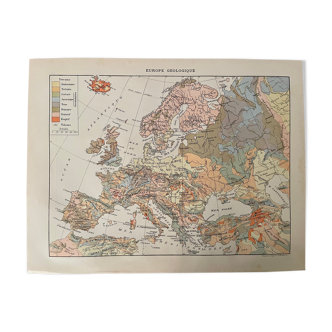
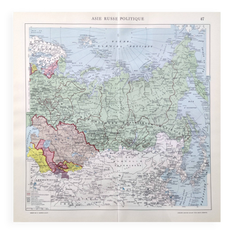
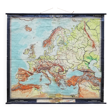
Map dated between May 1940 and August 1941. University school map for teaching, Europe Zone, rolled up on wooden sticks. Size: ~220x220cm. Dated after analysis of the information on the map: Germany/Austria border non-existent, therefore dating from the Anschluss between 1938 and 1940. Germany/Luxembourg border created in May 1940. Volga German border valid until August 1941. Etc. Author: HARMS Publisher: List & von Bressendorf, Leipzig.
🇫🇷
Jean S.
Private seller
See the shop
New seller
This seller is starting on Selency, and we already love him. Go for it ❤️