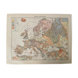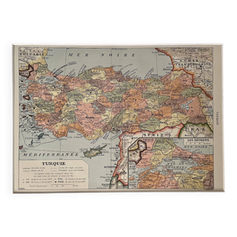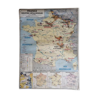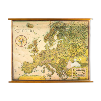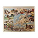
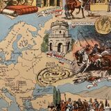
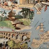


Old illustrated map of Europe from 1948 - JP Pinchon
🙈 Oops, this product is already sold or unavailable. Discover our 1500 new products or products similar to this item !
- Color :
- multicolour
- Material :
- paper
- Style :
- vintage
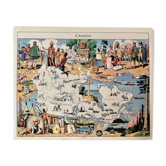
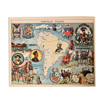
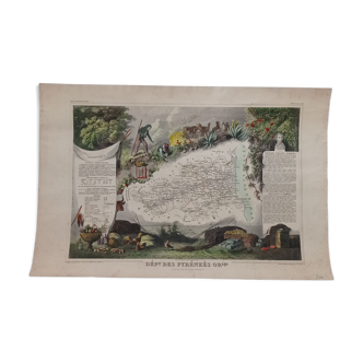
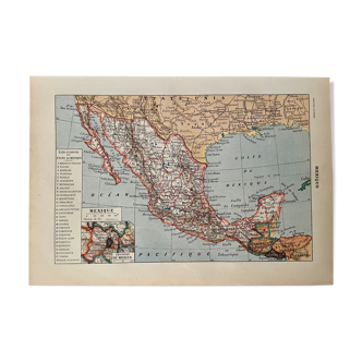
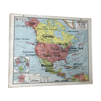
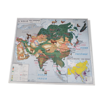
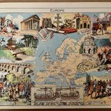
An extremely rare map of europe (original), illustrated by émile-joseph-porphyre pinchon (the cartoonist bécassine), taken from "l'épanouissement du monde", published by blondel la rougery. Visible signature of j.p. Pinchon. 💎 all lithographs and cards in this account are originals and not copies. Date: 1948. Other maps on new york, the united states, brazil, argentina, canada, china, indochina, the west indies, europe, the scientific rise of europe, and other countries also available on this account. Dimensions: 24 X 30 cm. To be framed. Decoration, country house decoration, vintage, gift idea. Geography cartography history explorers germany italy vercingetorix triumphal arch greece vienna clovis crusades charlemagne.
4.97 ()