Old map of the United States — Trade routes & Geography | Mexico

- Dimensions :
- H49 x W63 x D1
- Color :
- multicolour
- Material :
- linen
- Style :
- classic
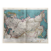
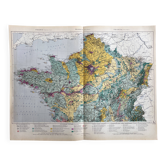
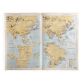
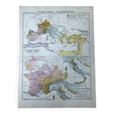
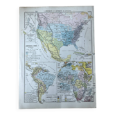
Authentic old map of the United States, referenced 14, a historical document of exceptional richness and rarity. It remarkably represents the entire American territory — from the Great Lakes to the Caribbean, from the North Pacific to the Atlantic — at a time when the United States was asserting itself as the world's leading economic power. The export flows to Europe, South America, and Asia are mapped with fascinating detail: machinery, cotton, oil, grains, tobacco — all symbols of the American industrial and agricultural power of the time. Insets detail major industrial metropolises such as Chicago, Milwaukee, and Detroit, reflecting the country's economic dynamism. Mexico, Cuba, and the Caribbean are also accurately depicted. The trilingual legends — French, English, and Spanish — confirm the prestige of this international edition. A rare piece at the intersection of history, economics, and cartography, as valuable for the collector as it is appealing for the lover of vintage American decor. Condition: Very good state of preservation — the deep hues and cartographic details remain remarkably sharp and fresh. Delivery: The map will be carefully protected and packaged with the utmost care to ensure it arrives in perfect condition. Available for free collection in Paris and Lyon.