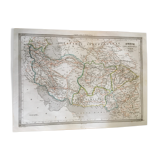
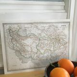
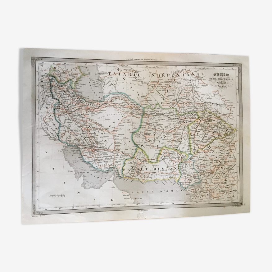
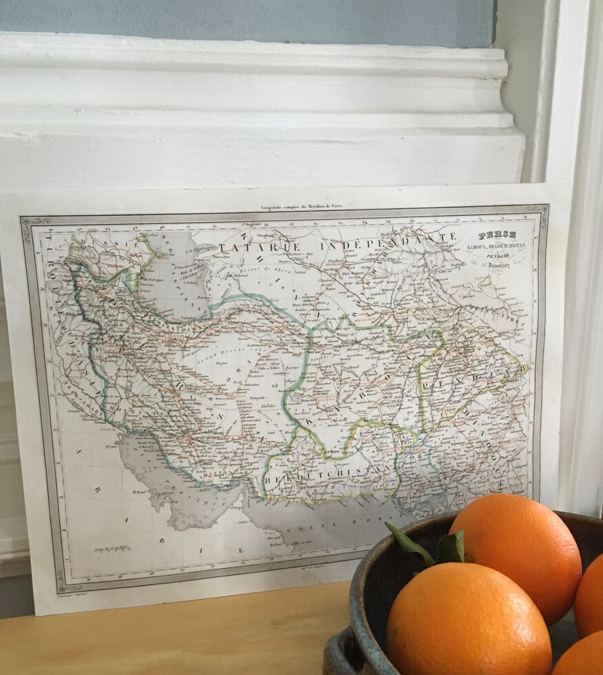
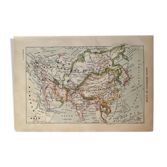
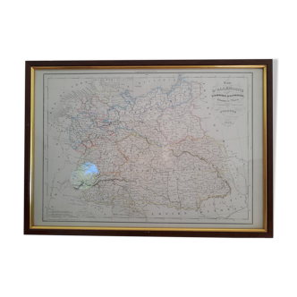
Geographic map 19th numbered Persia Kabul Beloutchistan Punjab
- Great deal
- H28 x W38
- paper
- multicolour
4.8 ()
🙈 Oops, this product is already sold or unavailable. Discover our 1500 new products or products similar to this item !
Description
Original and numbered geographical map of the 19th century (1840), from the "historical and universal atlas of ancient geography of the middle ages and modern". Longitude counted from the meridian of paris or lutèce. By auguste henri dufour, geographer (1798-1865) and, thunot duvotenay, cartographer (1796-1875). Edition a. Ambree, paris. Persia, kaboul, beloutchistan, punjab no.32 - by duvotenay. Engraved by dyonnet, printed by mangeon, written by benard. 38.5 X 28 cm. (without a frame).
Ref. : C4FDXCTK
- Dimensions :
- H28 x W38
- Color :
- multicolour
- Material :
- paper
- Style :
- classic
4.8 ()
Return your item within 14 days
Cherry-picked items
Carrefully selected sellers
100% secured payment