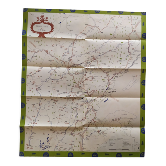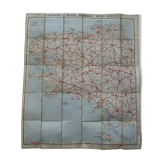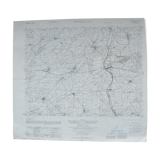
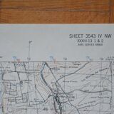
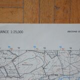
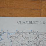
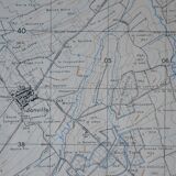


Map of Chambley 1 & 2
- Dimensions :
- H56 x W62
- Color :
- multicolour
- Material :
- paper
- Style :
- vintage
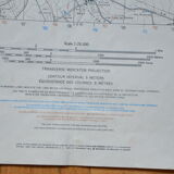
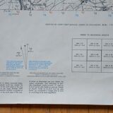
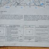
Map of Chambley 1&2. Prepared by the Army Map Service (AM), Corps of Engineers, US Army. Map of France 1:25,000. The original map established from field surveys in 1907-1908, revised in 1946. Reproduced in 1951. Map written in French and English. The map is 62 cm wide and 56 cm high. I got this map (and about twenty others!) from a gentleman who worked at SNCF. Originally I wanted to put the maps in a frame but the price would have been higher and the shipping would have been complicated. You can choose the frame you want! Colors may vary between screen and reality. Measurements given for information purposes only. ----------------------------------------------------------------------------------------------------- all items are carefully packaged. The packaging I use is recycled, which helps avoid waste and reduce costs. Always with the goal of preserving our planet, I only mail packages once a week. If the order is urgent, please contact me!
4.67 ()