Sold out


Page 1 of 9
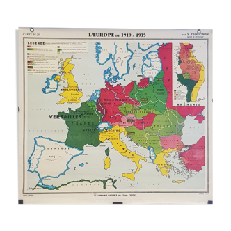
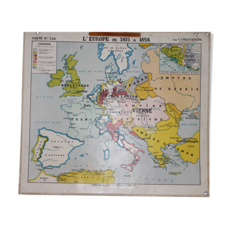
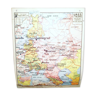
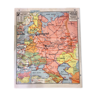
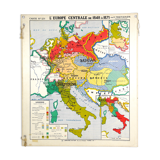
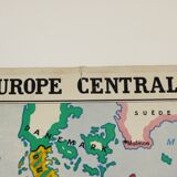
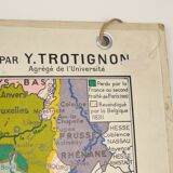
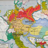
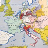
Map geographical in Europe from 1815 to 1856 & Central Europe from 1848 to 1871, Y. Trotignon
€80
🙈 Oops, this product is already sold or unavailable. Discover our 1500 new products or products similar to this item !
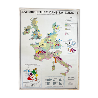
- Dimensions :
- H88 x W100
- Color :
- multicolour
- Material :
- paper
- Style :
- vintage
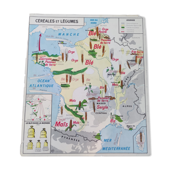
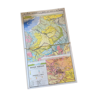
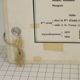
Map geographical duplex in thick cardstock. Card n ° 230: in Europe from 1815 to 1856 - card n ° 231: Central Europe from 1848 to 1871. Mapping carried out by Y. Trotignon, associate University. Published by the Cambridge library, 8 rue d'Assas, Paris VI. Dimensions: 100cm x 88cm. State: traces of wear, scotch, small tears (see photos).
🇫🇷
Marie B.
Professional
This seller has been carefully selected for their reliability and unique items. Let yourself be tempted.
910 sales
4.76 ()