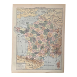
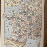
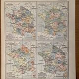

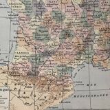

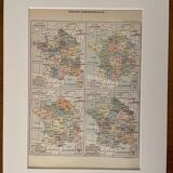
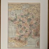
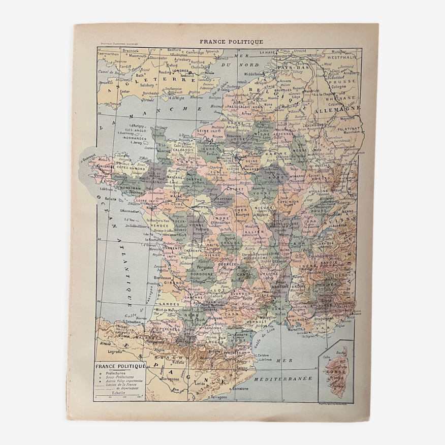
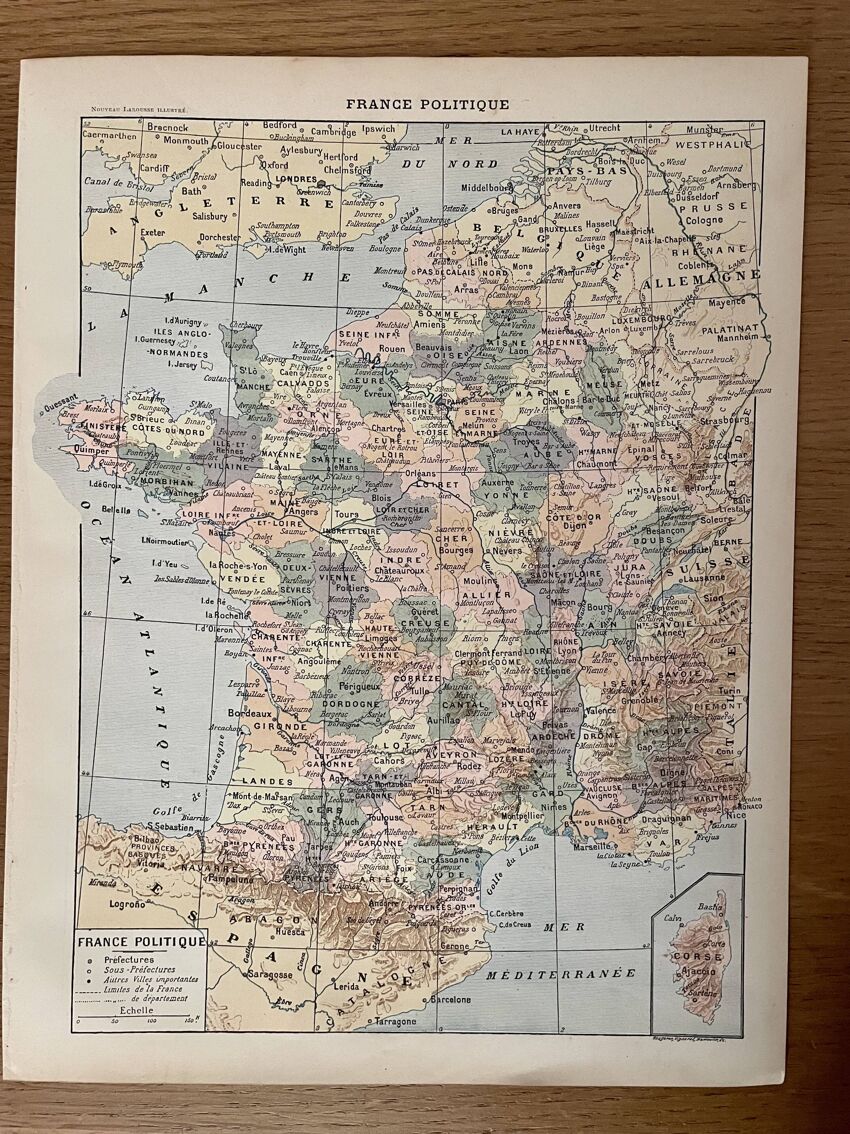
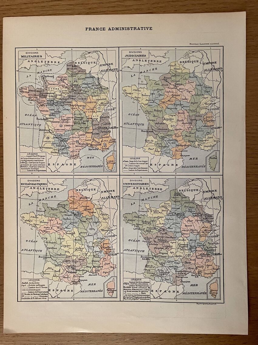
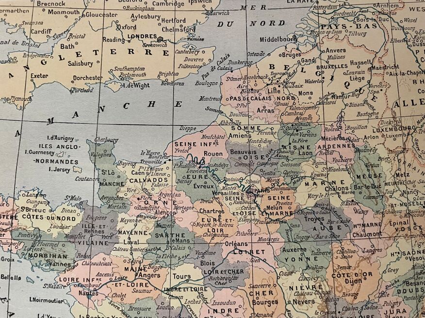
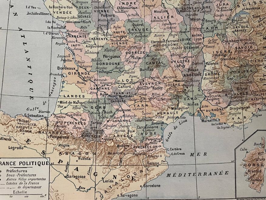
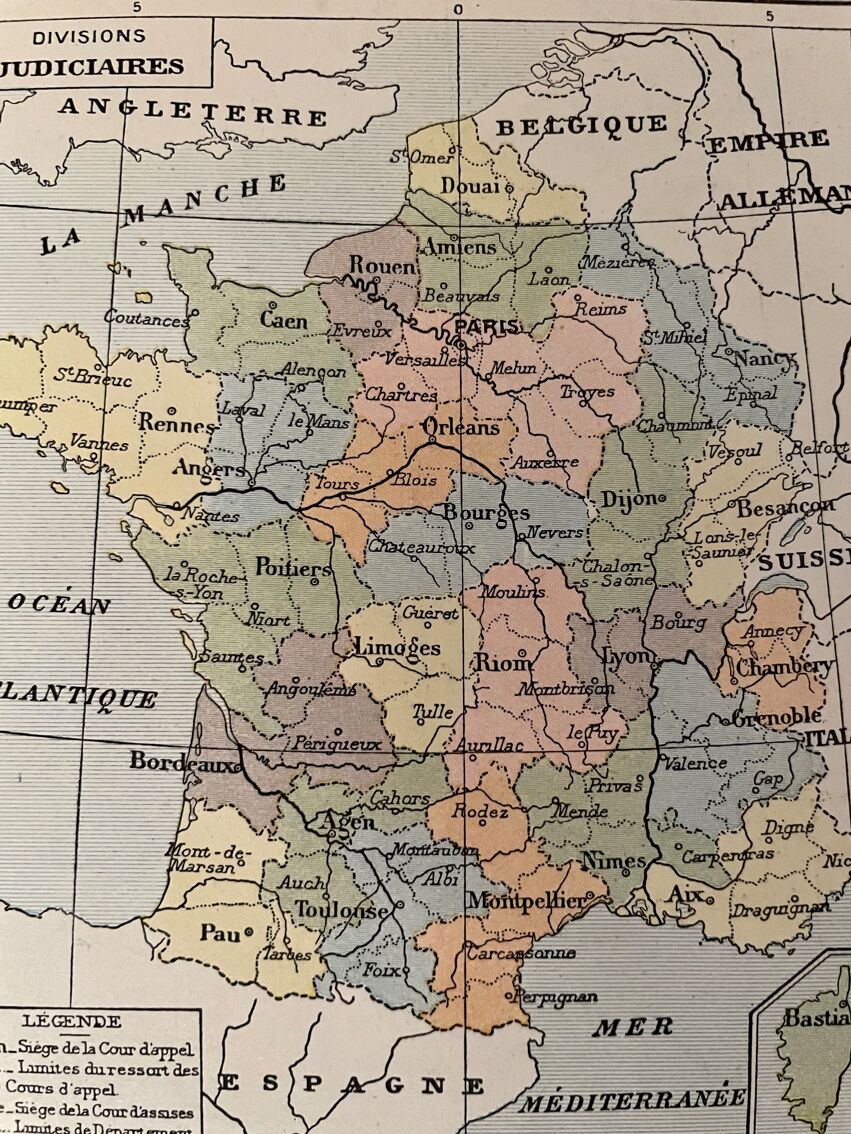
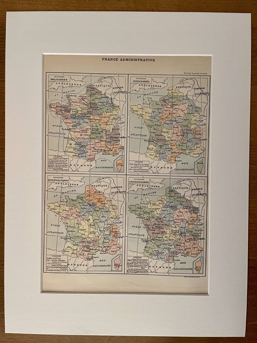
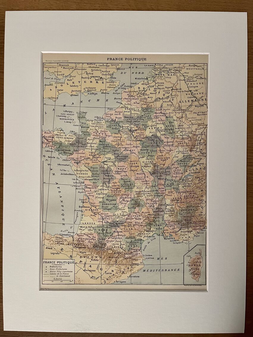
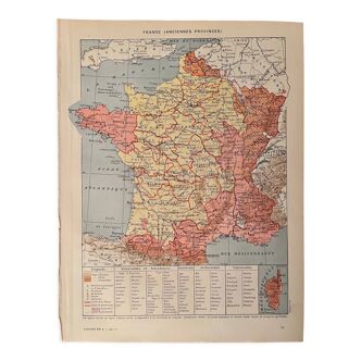
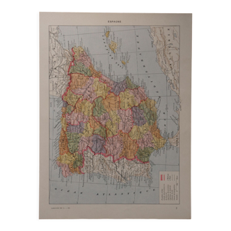
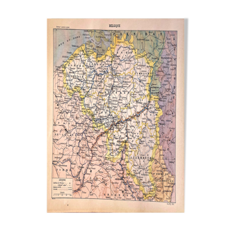
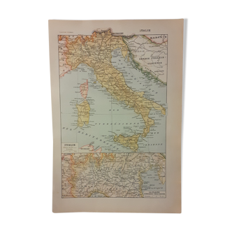
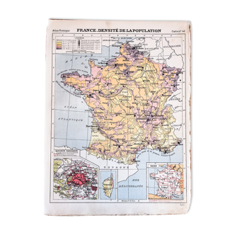
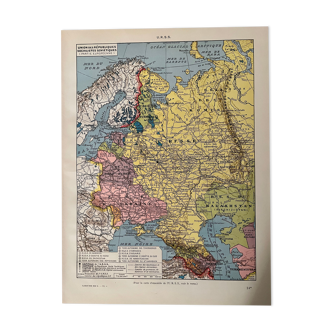
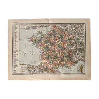
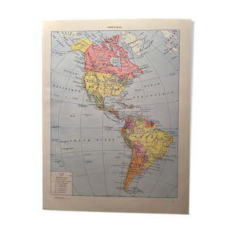
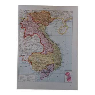
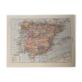
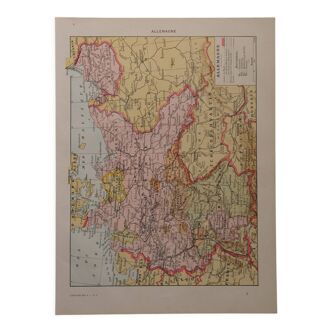
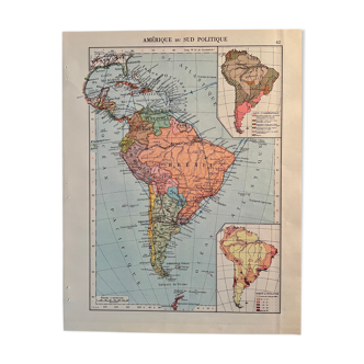
Old map of political and administrative France - 1900
- paper
- multicolour
4.95 ()
Description
Old map of political and administrative france (original), taken from an old encyclopedia. Card on front and back. 💎 all lithographs and maps in this account are originals and not copies. Other cards (especially illustrated) of france also available on this account. Date: publication of the work around 1900. Dimensions: 23.5 X 31 cm. To be framed. Decoration, decoration, vintage, gift idea and country house. Geography cartography military judicial ecclesiastical universities.
Ref. : Z9WEV8UP
- Color :
- multicolour
- Material :
- paper
- Style :
- vintage
4.95 ()


Return your item within 14 days
Cherry-picked items
Carrefully selected sellers
100% secured payment