


Page 1 of 5
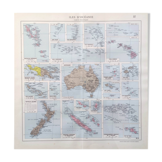
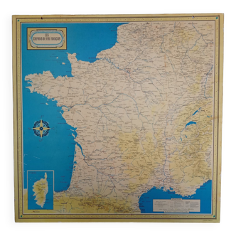
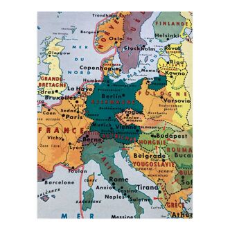
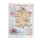
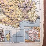
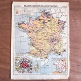
Map of France population density 1929
€23

Map of France population density 1929
€23
- Dimensions :
- H30 x W23
- Color :
- multicolour
- Material :
- paper
- Style :
- vintage
Old 🇫🇷 from f. Maurette's practical atlas of hachette editions of 1929. Several cards available, all in their juices, detached by the time of their book. To be supervised and cherished. Size: 23.2cm X 30.6cm. France, population density, map number 41.