

Page 1 of 3
Old illustrated map of the Ile de France - JP Pinchon
€35
Old illustrated map of the Ile de France - JP Pinchon
€35
- Dimensions :
- H30 x W24 x D1
- Color :
- multicolour
- Material :
- paper
- Style :
- vintage
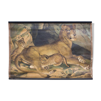
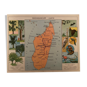
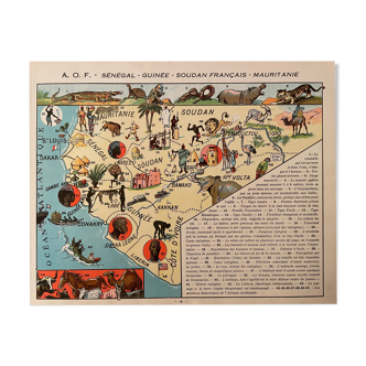
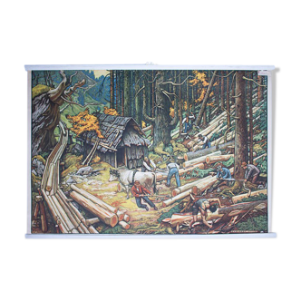
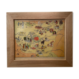
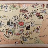
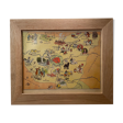
Old map of the île de france, illustrated by émile-joseph-porphyre pinchon (the cartoonist of bécassine), extracted from "les provinces de france illustrées", published by blondel la rougery. Visible signature of j.p. Pinchon. Date: 1927. Dimensions: 23.5 X 29.7 cm. Sold framed (solid wood frame and glass): 45€. Perfect for a children's room. Geography, france, aisne, oise, seine et marne, mantes la jolie, paris, étampe, coulommiers, meaux, chantilly, pontoise, compiègne, laon, saint gibson, beauvais, clermont, versailles, rambouillet, melun, corbeil, fontainebleau.
🇫🇷
Mathilde S.
Super Pro
Sellers like this? We'd like to have thousands of them! This seller has fulfilled all of their clients' expectations. Will you be up next?
588 sales
4.97 ()