Unavailable


Page 1 of 20
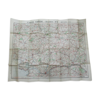
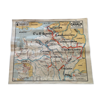
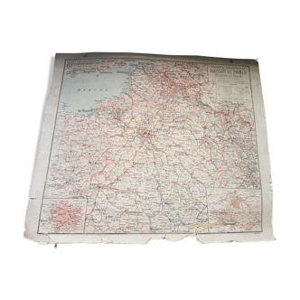
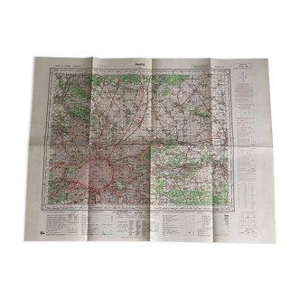
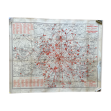
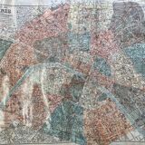
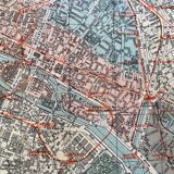
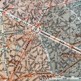
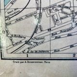
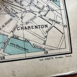
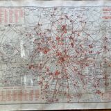
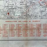
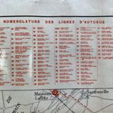
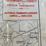
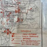
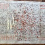
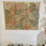
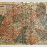
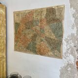
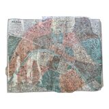
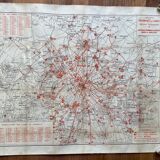
Map of Paris and its transports between 1930 and 1940 - STCRP
€50
🙈 Oops, this product is already sold or unavailable. Discover our 1500 new products or products similar to this item !
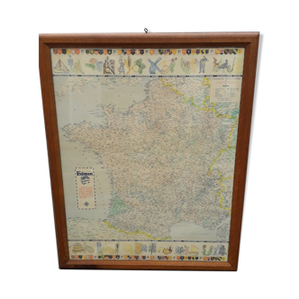
- Dimensions :
- H61 x W76 x D1
- Color :
- multicolour
- Material :
- paper
- Style :
- vintage
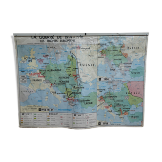
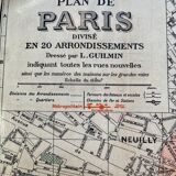
Old map between 1930 and 1940 from the société des transports en commun de la région parisienne (stcrp) formerly ratp. It is in a very good state of preservation due to the lamination that was done by its former owner who worked at stcrp at the time it was kept rolled in its case for decades.) On the front side the map of paris drawn up by l. Guilmin its new streets and on the back side engraving by albert demersseman of all regional transport lines (bus, tram and boat).
🇫🇷
Charlène R.
Super Pro
Sellers like this? We'd like to have thousands of them! This seller has fulfilled all of their clients' expectations. Will you be up next?
931 sales
4.87 ()