Sold out


Page 1 of 4
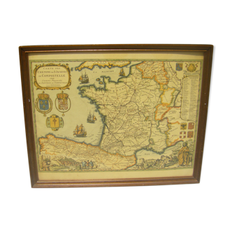
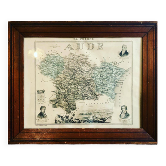
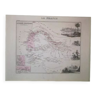
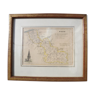
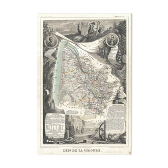
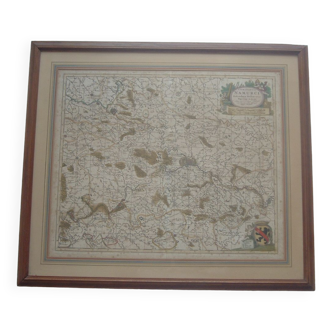
Map of the Vendée
This item has found its owner, but other one-of-a-kind items await you. 👇
Discover similar items- Dimensions :
- H36 x W52
- Color :
- white
- Material :
- paper
- Style :
- vintage
Historical map of the department of vendée, from the national illustrated atlas levasseur, région de l'ouest n°82. Cartography of the department of vendée in 1852, its capital of department, district, its communes, hamlets, road networks, railways and canals. Very beautiful illustrations of the rural world of the time. Very decorative. Presents some moisture spots at the bottom left (see photo) Good general condition. Additional photographs on request.