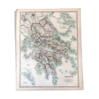
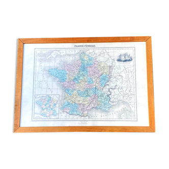
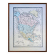
North America, old map, printed in 1852.
- Dimensions :
- H30 x W24
- Color :
- multicolour
- Material :
- paper
- Style :
- classic
This is an authentic old map and not a modern reproduction. Here you will find only period prints that have stood the test of time with a genuine patina. 🧭 Travel back in time and explore North America (USA, Canada, and Mexico) in the mid-19th century with this superb, detailed, and coloured historical map. Created by A. Vuillemin, a French geographer (1812-1886). Printed in Paris (Saint-Denis) in 1852. Some foxing, let’s not forget that the paper is 173 years old! Geographical maps, world maps, botanical plates, anatomical illustrations, advertising posters, engravings, and photographs of all kinds, for a Retro Vintage and Authentic decoration. An original gift, to treat yourself or to give! 📏 Map dimensions: L24cm X H30cm. ⚠️ Frame not included ⚠️ 📦 Fast, protected, and careful shipping. Posters are sent flat in a plastic sleeve and a rigid cardboard envelope. Careful and personalised packaging. Feel free to ask me to include a personalised message if you wish to gift this order for a special occasion. 🔎 The item is rated as "good condition" given its age; it obviously shows some signs of the passage of time. The photos will allow you to see the actual condition as the item in the photo will be the one shipped; there is no stock. 🚚 Delivery to France and internationally.