Great deal

Page 1 of 19
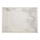
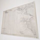
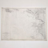
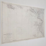
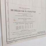
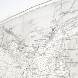
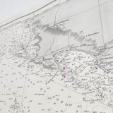
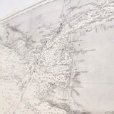
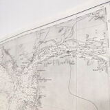
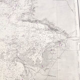
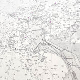
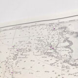
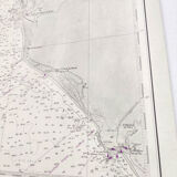
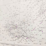
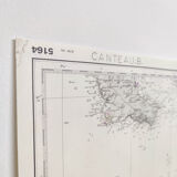
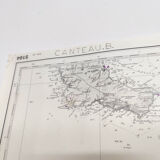
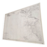
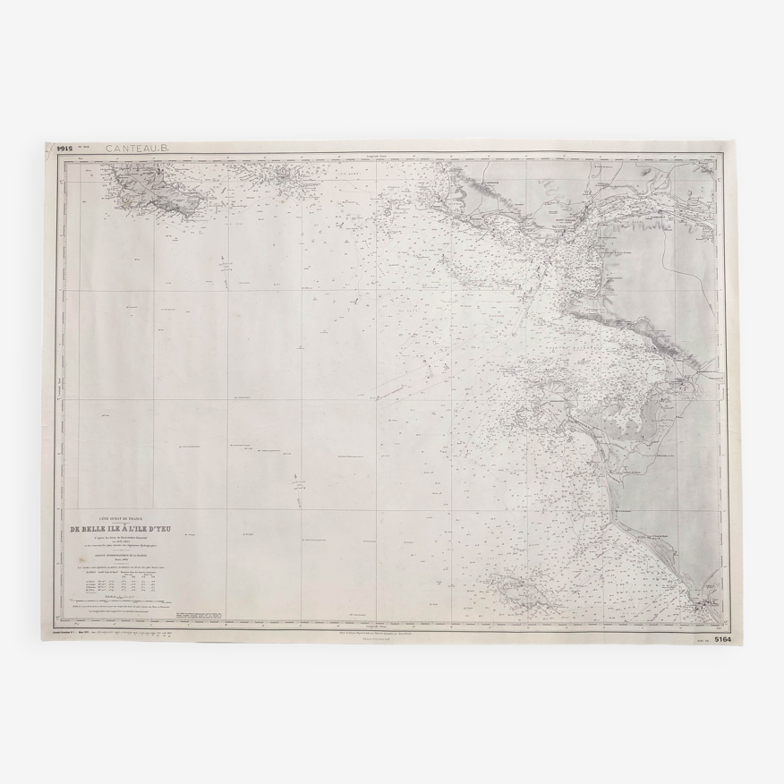
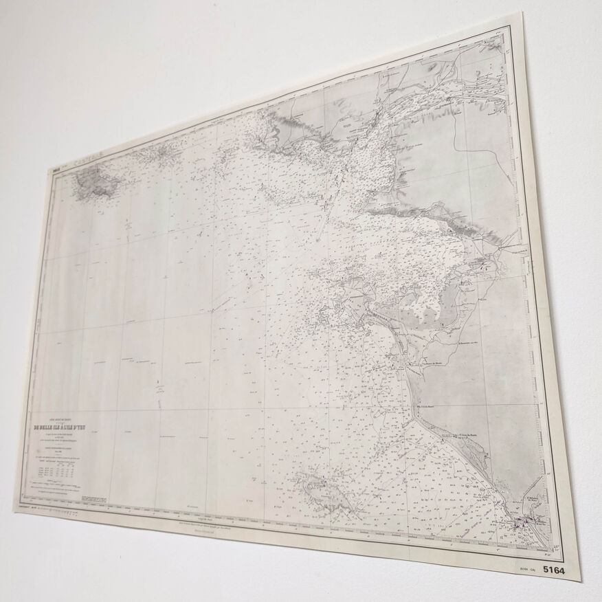
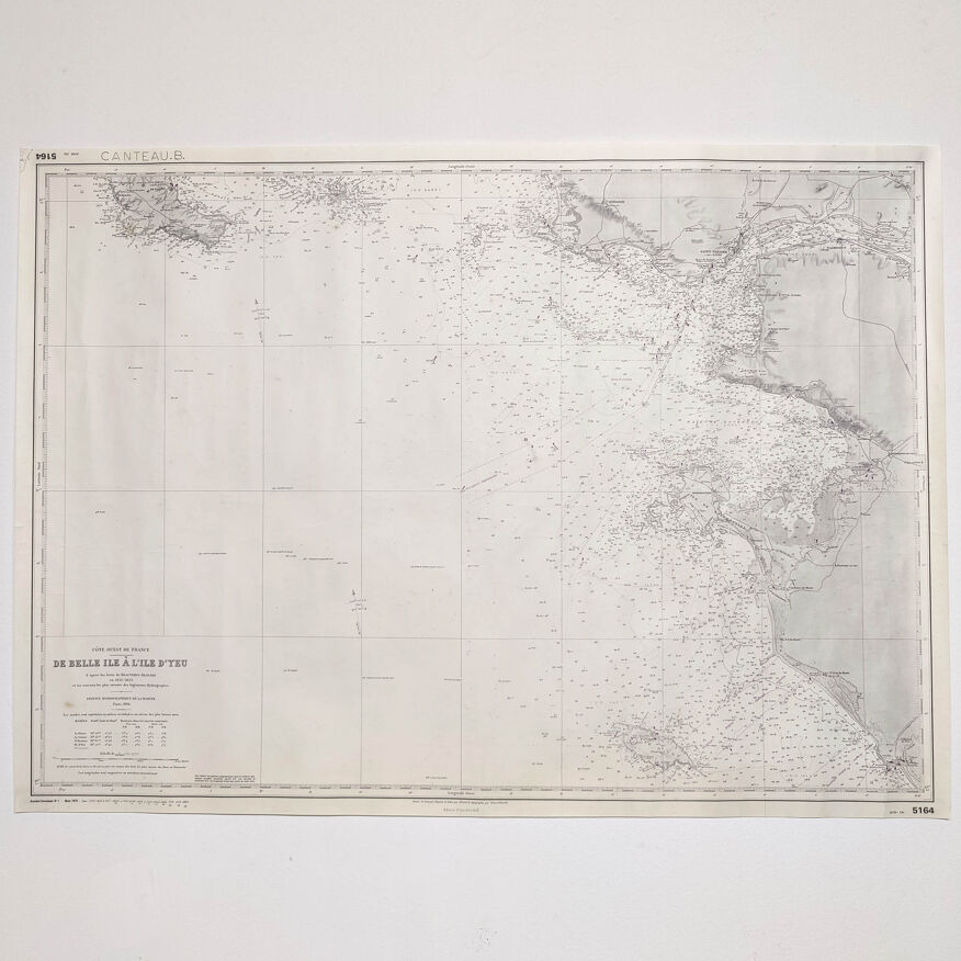
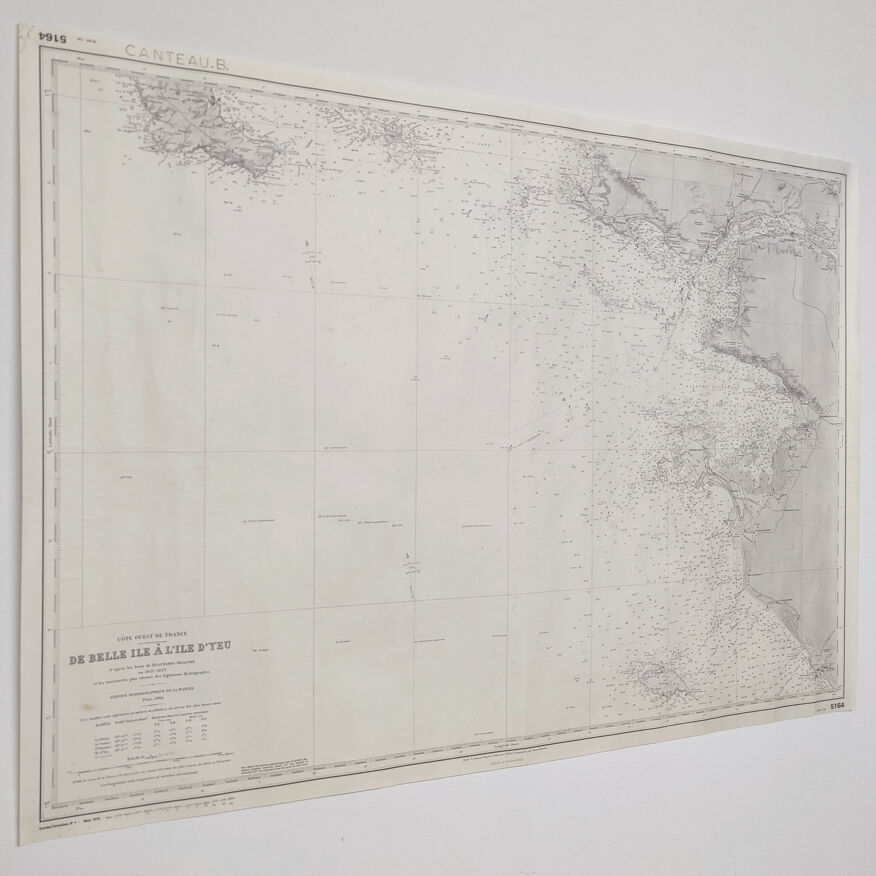
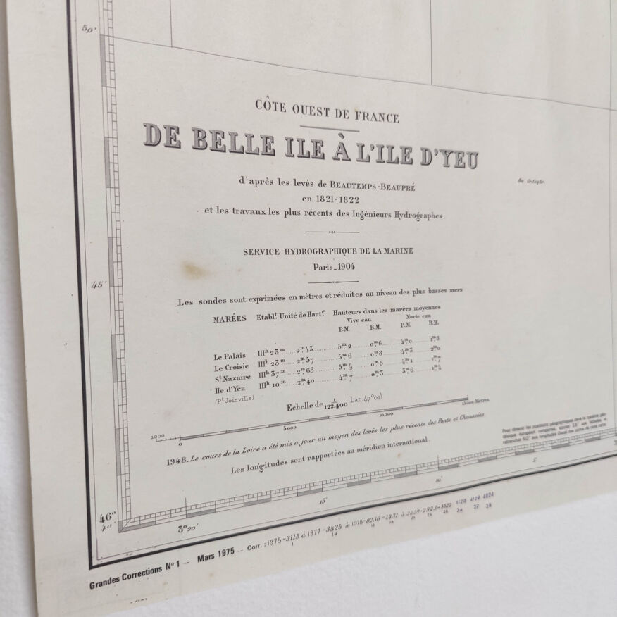
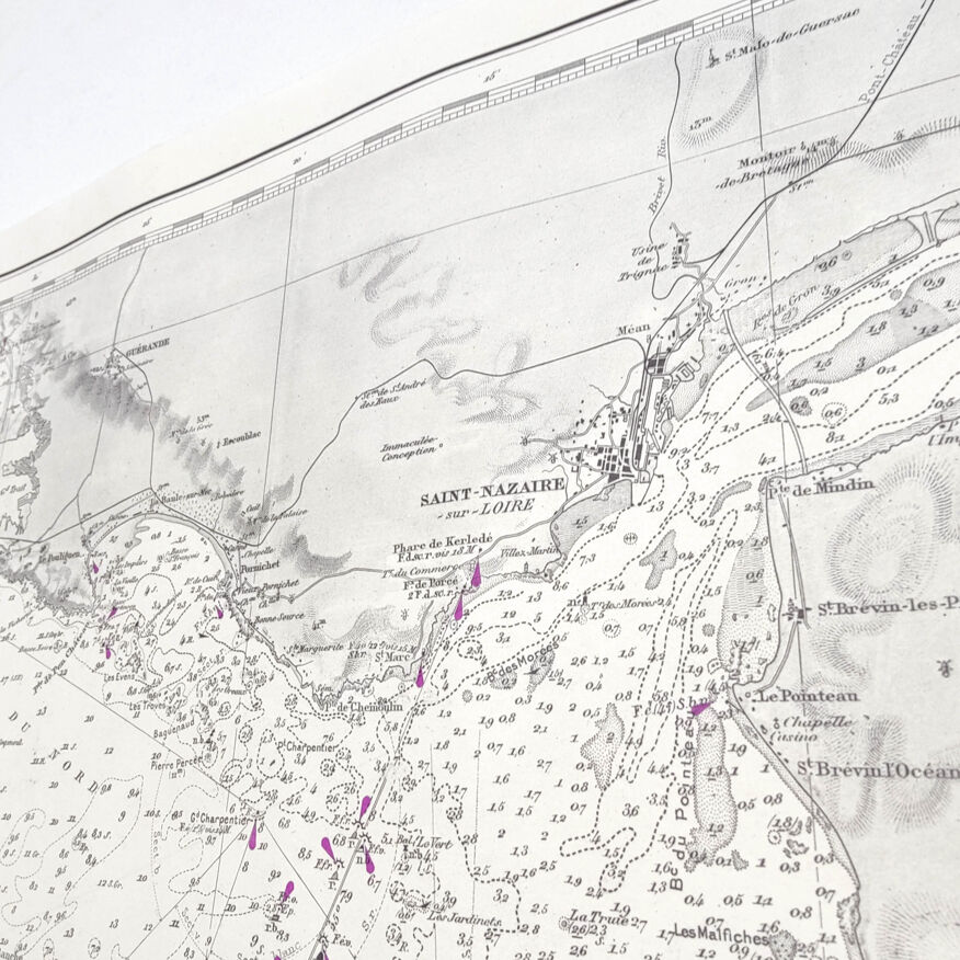
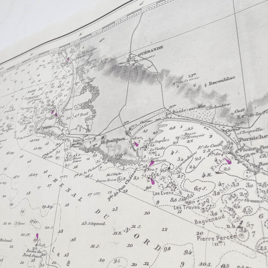
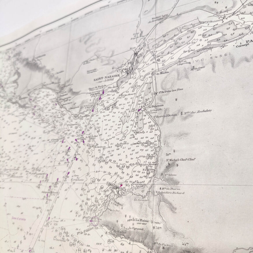
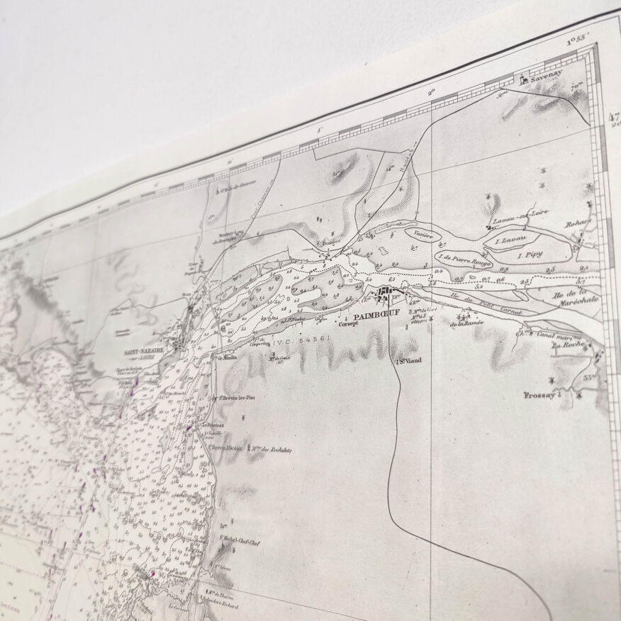
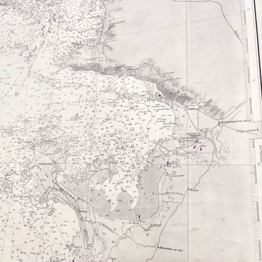
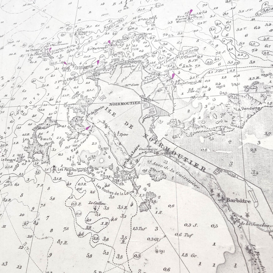
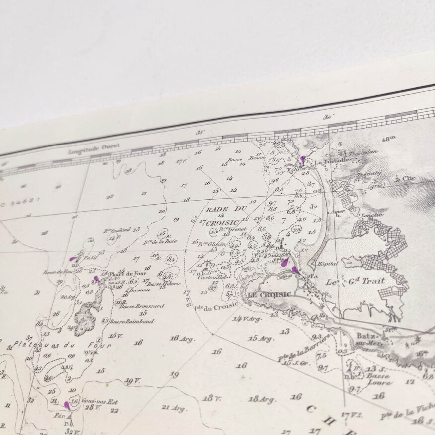
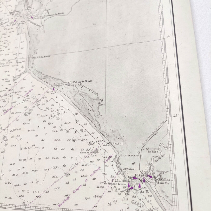
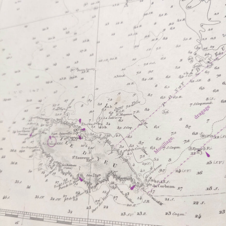
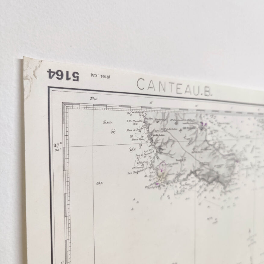
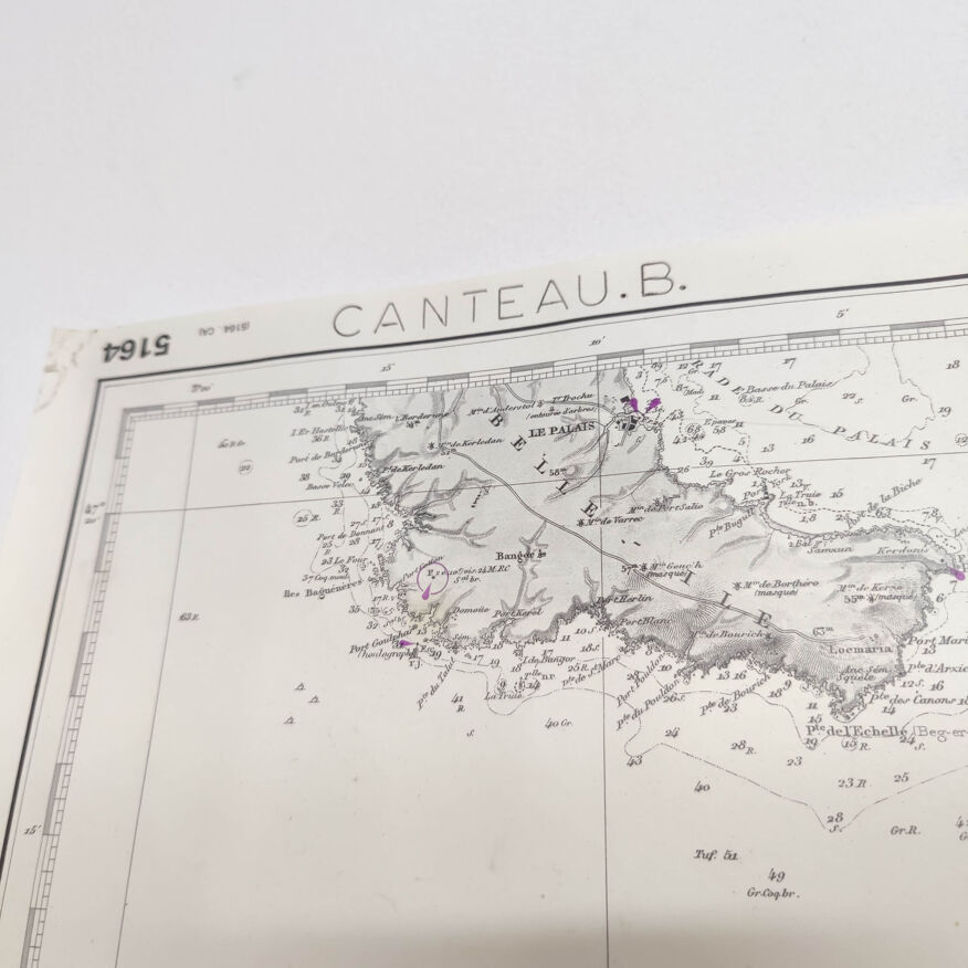
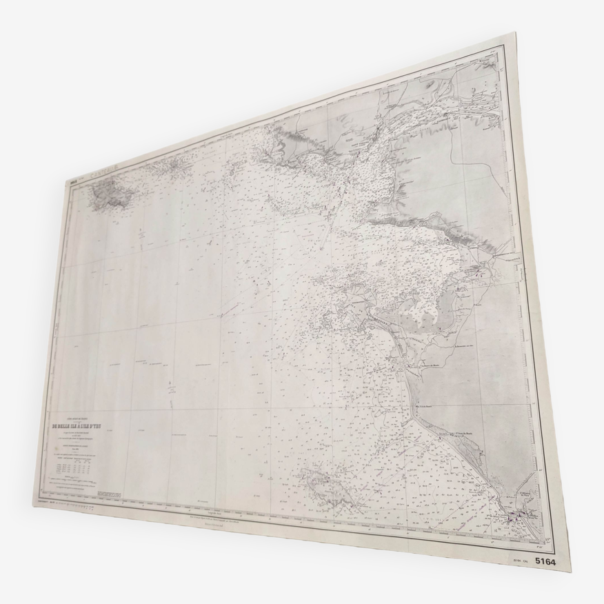
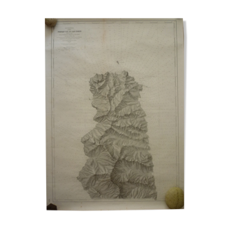
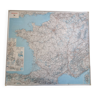
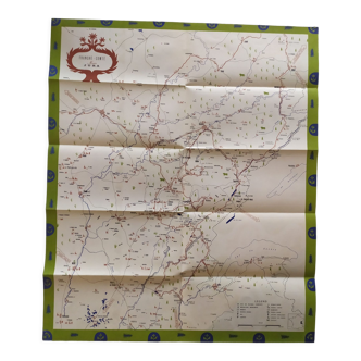
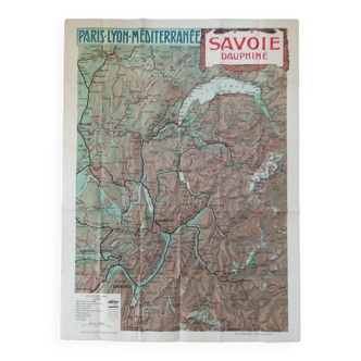
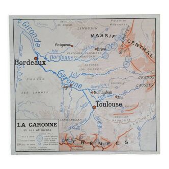
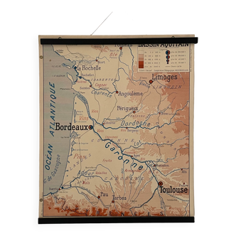
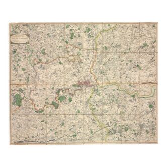
Map west coast France from Belle île to Ile D'Yeu
€75
- Great deal
- H69 x W96 x D1
- paper
- multicolour
Pro ambassador
This seller has earned our full trust with their record of flawless sales. Just read their customer reviews! A gem.
4.97 ()
Download the Selency app to receive notifications of price reductions on your favorites.
Description
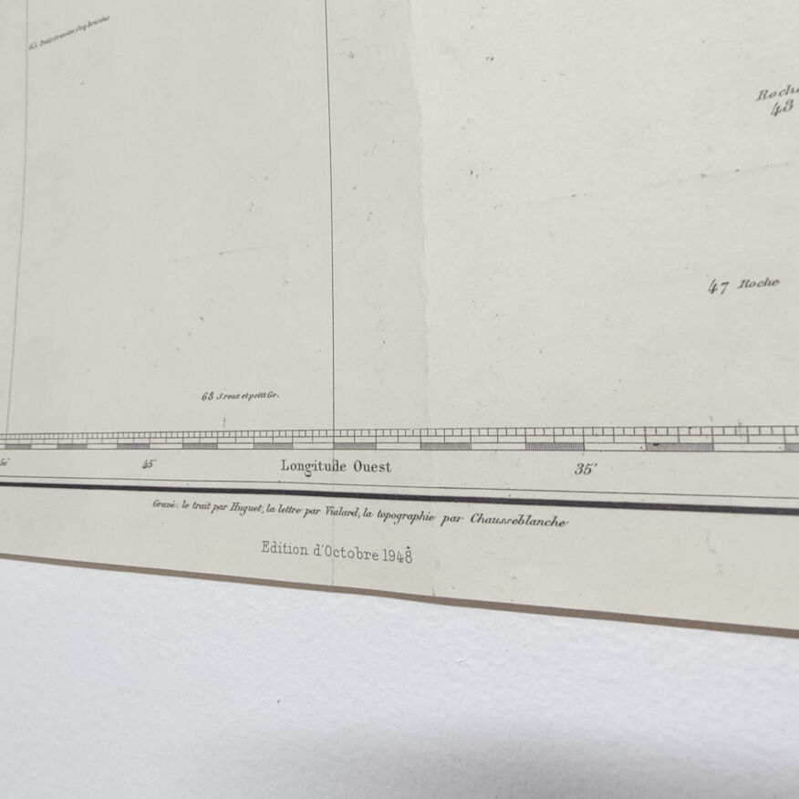
Nice big vintage map of the west atlantic coast of the france (belle île, le croisic, la baule, the loire estuary, the île noirmoutier and the ile d'yeu). Based on beautemps – beaupré map surveys. Edition of 1948, dated 1975. Nice detail of graphics and relief. Dimensions: length 96cm and height 69.5cm. Rolled-up cardstock cardboard map.
Ref. : TJKPFR9D
- Dimensions :
- H69 x W96 x D1
- Color :
- multicolour
- Material :
- paper
- Style :
- vintage
🇫🇷
Alan P.
Pro ambassador
This seller has earned our full trust with their record of flawless sales. Just read their customer reviews! A gem.
1085 sales
4.97 ()
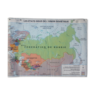
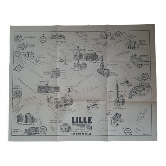
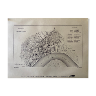
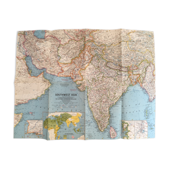
Our suggestion of similar items
Discover more similar items

Page 1 of 10
Return your item within 14 days
Cherry-picked items
Carrefully selected sellers
100% secured payment