Sold out


Page 1 of 7
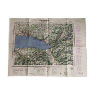
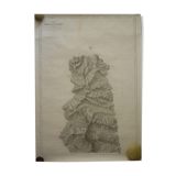
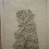
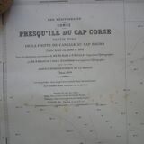
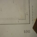
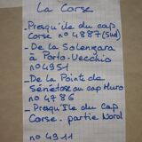
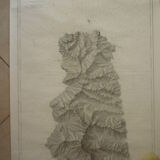
Map of the navy "cap corse - canelle - cap sagro" nº 4911
€45
🙈 Oops, this product is already sold or unavailable. Discover our 1500 new products or products similar to this item !
- Dimensions :
- H105 x W74
- Color :
- multicolour
- Material :
- paper
- Style :
- classic
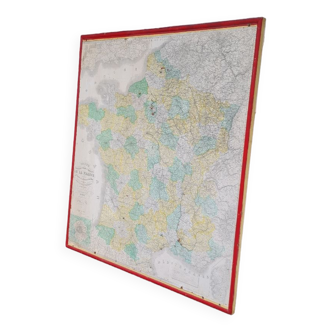
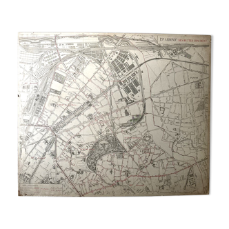
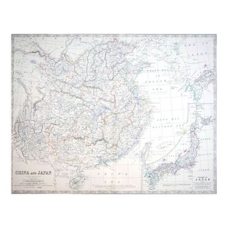
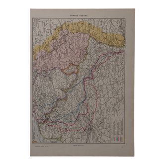
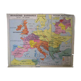
PENINSULA OF CAP CORSE - NORTHERN PART - FROM POINTE DE CANELLE TO CAP SAGRO, Nº 4911. Map raised in 1890 and 1891. Map of the Hydrographic Service of the Navy "Mediterranean Sea Corsica". It is printed in 1:34800 scale on thick paper and has been used. Now it is stored rolled and remains despite some stains in good general condition. 105 X 74 cm. Other cards are on sale, do not hesitate to ask for a quote in case of multiple purchases for delivery costs.
🇫🇷
Virginie C.
Super Pro
Sellers like this? We'd like to have thousands of them! This seller has fulfilled all of their clients' expectations. Will you be up next?
521 sales
4.96 ()