


Page 1 of 12
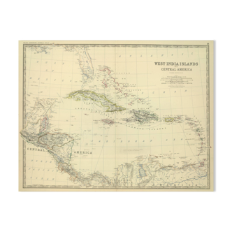
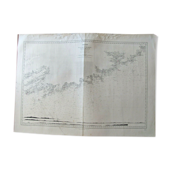
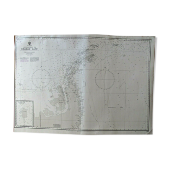
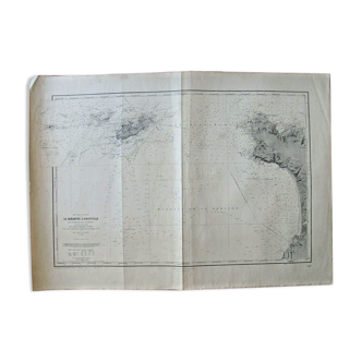
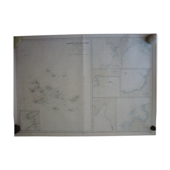
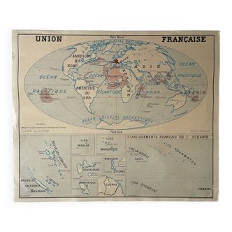
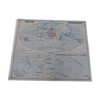
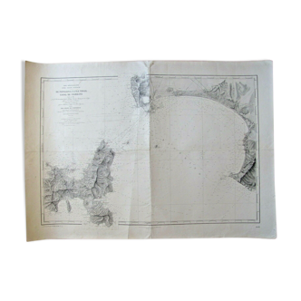
Navy chart Nº 6251 “RADIO SIGNALS MAP – THE CHANNEL AND WESTERN LANDING”
€28
- H45 x W70 x D1
- paper
- white
Pro ambassador
This seller has earned our full trust with their record of flawless sales. Just read their customer reviews! A gem.
4.97 ()
Description
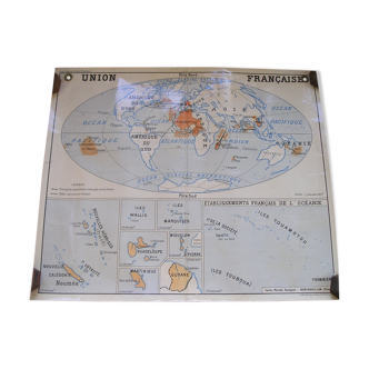
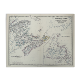
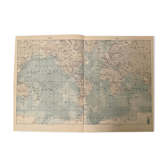
Naval map surveyed paris 1959, from the naval hydrographic service. It is printed on thick paper and has been used. No creases, it is stored rolled and is in good general condition. 70cm/45cm. Other cards are on sale, do not hesitate to ask for a quote in the event of multiple purchases for delivery costs rolled in a tube.
Ref. : QC4VPRDD
- Dimensions :
- H45 x W70 x D1
- Color :
- white
- Material :
- paper
- Style :
- vintage
Virginie C.
Pro ambassador
This seller has earned our full trust with their record of flawless sales. Just read their customer reviews! A gem.
452 sales
4.97 ()
Return your item within 14 days
Cherry-picked items
Carrefully selected sellers
100% secured payment