Page 1 of 12
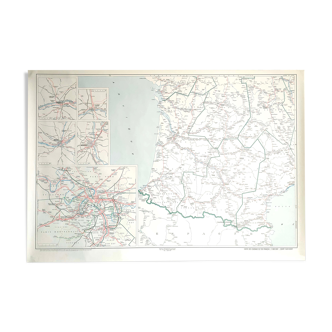
Navy chart Nº 6251 “RADIO SIGNALS MAP – THE CHANNEL AND WESTERN LANDING”
€28
Navy chart Nº 6251 “RADIO SIGNALS MAP – THE CHANNEL AND WESTERN LANDING”
€28
- Dimensions :
- H45 x W70 x D1
- Color :
- white
- Material :
- paper
- Style :
- vintage
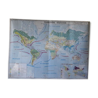
Naval map surveyed paris 1959, from the naval hydrographic service. It is printed on thick paper and has been used. No creases, it is stored rolled and is in good general condition. 70cm/45cm. Other cards are on sale, do not hesitate to ask for a quote in the event of multiple purchases for delivery costs rolled in a tube.