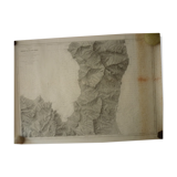
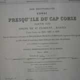
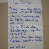
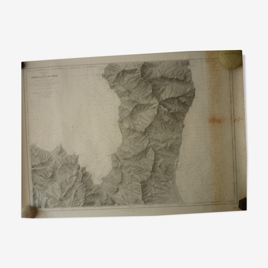
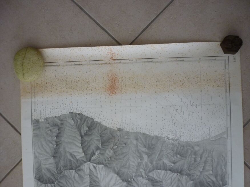
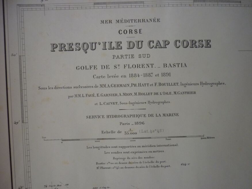
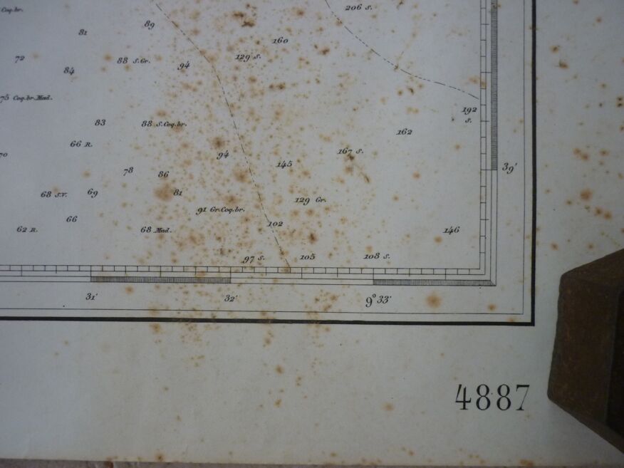
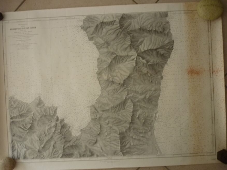
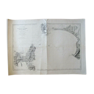
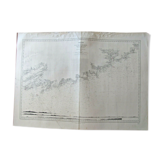
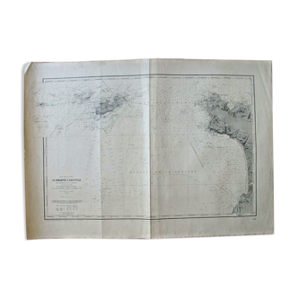
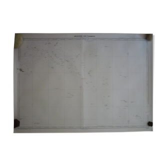
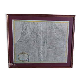
Map of the navy "cap corse a bastia" nº 4887
- H105 x W74
- paper
- multicolour
4.97 ()
🙈 Oops, this product is already sold or unavailable. Discover our 1500 new products or products similar to this item !
Description
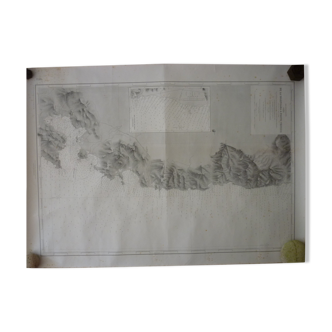
PENINSULA OF CAP CORSE - SOUTHERN PART - GULF OF ST FLORENT - BASTIA, Nº 4887. Map raised in 1884 - 1887 and 1891. Map of the Hydrographic Service of the Navy "Mediterranean Sea Corsica". It is printed in 1:35000 scale on thick paper and has been used. Now it is stored rolled and remains despite some stains in good general condition. 105 X 74 cm. Other cards are on sale, do not hesitate to ask for a quote in multiple purchases for delivery costs.
Ref. : KXVCT6K9
- Dimensions :
- H105 x W74
- Color :
- multicolour
- Material :
- paper
- Style :
- classic
4.97 ()
Return your item within 14 days
Cherry-picked items
Carrefully selected sellers
100% secured payment
